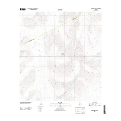
2014 Map of Talkeetna D-4 SE
USGS Topo · Published 2014About this map
Denali National Park encompasses the central terrain of this map, revealing a landscape defined by high-altitude glacial systems. The Yentna Glacier flows through the western portion of the quadrangle, while the Lacuna Glacier is situated to the southeast, illustrating the immense ice field network characteristic of the Alaska Range. A significant administrative boundary, the Denali Matanuska-Susitna line, cuts diagonally across the northern half of the sheet, marking the intersection of the national park and the borough. This 2014 survey documents the precise glacial extents and topographic contours of a region where the elevation and movement of ice dictate the geography. The absence of roads or permanent structures underscores the wilderness character of the area, providing a detailed record of high-mountain hydrology and glaciology at the start of the twenty-first century.
Find a feature on this map
8 named features on this map. Tap any name to fly to it.
Don’t see what you’re looking for? This feature index may not catch every label — zoom into the map to look around manually.
Map Details
Editions of this 2014 Talkeetna D-4 SE Map
This is the sole edition of this map. No revisions or reprints were ever made.
Other maps of this area

1950 · Talkeetna
USGS Topo · 1:250,000

1951 · Talkeetna
USGS Topo · 1:250,000

1958 · Talkeetna C-4
USGS Topo · 1:63,360

1958 · Talkeetna D-4
USGS Topo · 1:63,360

1958 · Talkeetna C-3
USGS Topo · 1:63,360

1958 · Talkeetna D-3
USGS Topo · 1:63,360

1958 · Talkeetna
USGS Topo · 1:250,000

1965 · Talkeetna
USGS Topo · 1:250,000
2014 · Talkeetna C-3 NW
USGS Topo · 1:25,000
2014 · Talkeetna D-3 SW
USGS Topo · 1:25,000