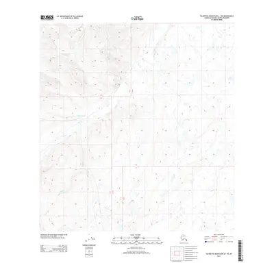
2013 Map of Talkeetna Mountains A-1 NE
USGS Topo · Published 2013About this map
Tyone Creek dominates the high-altitude hydrology of this interior landscape in the Talkeetna Mountains region. Flowing through a complex network of glacial valleys and plateaus, the creek is joined by tributaries including Daisy Creek and White Sand Creek. The presence of Cat Lake in the eastern portion of the survey highlights the pond-strewn nature of the upland terrain, where small bodies of water collect in depressions between high ridges. This 2013 survey provides a clear view of the wilderness before the impacts of changing climatic patterns or further resource development might alter the high-country drainages. The topography is defined by the headwaters of Nicolie Creek, showing how these disparate streams collect runoff from the surrounding peaks to feed into the larger river systems of the Matanuska-Susitna Borough.
Find a feature on this map
10 named features on this map. Tap any name to fly to it.
Don’t see what you’re looking for? This feature index may not catch every label — zoom into the map to look around manually.
Map Details
Editions of this 2013 Talkeetna Mountains A-1 NE Map
This is the sole edition of this map. No revisions or reprints were ever made.
Other maps of this area
1949 · Talkeetna Mountains A-1
USGS Topo · 1:63,360
1949 · Gulkana A-6
USGS Topo · 1:63,360
1950 · Talkeetna Mountains
USGS Topo · 1:250,000
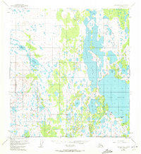
1950 · Gulkana B-6
USGS Topo · 1:63,360
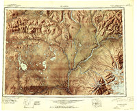
1951 · Gulkana
USGS Topo · 1:250,000
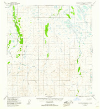
1951 · Talkeetna Mountains B-1
USGS Topo · 1:63,360
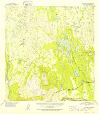
1952 · Gulkana A-6
USGS Topo · 1:63,360
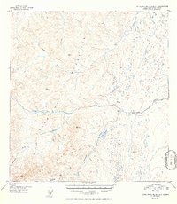
1952 · Talkeetna Mountains A-1
USGS Topo · 1:63,360
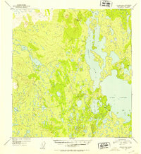
1952 · Gulkana B-6
USGS Topo · 1:63,360
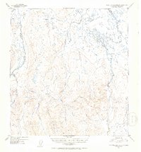
1952 · Talkeetna Mountains B-1
USGS Topo · 1:63,360