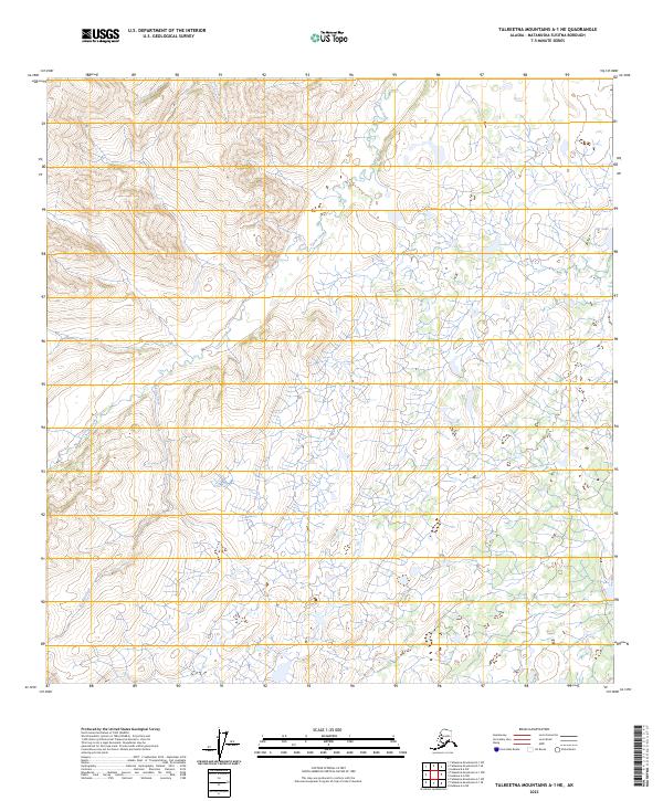
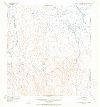
2023 Map of Talkeetna Mountains A-1 NE
USGS Topo · Published 2023About this map
Tyone Creek dominates the hydrology of this interior Alaskan landscape, winding through a complex of wetlands and low-lying basins in the Matanuska-Susitna Borough. The drainage pattern here is defined by several notable tributaries including Daisy Creek, Nicolie Creek, and White Sand Creek, which converge as they move through the township sections of T25N R12E and T24N R12E. In the northeastern portion of the quadrangle, Gat Lake sits within a dense network of smaller unnamed water bodies, characteristic of the state's lake-rich permafrost regions. This survey provides a precise look at the remote terrain where surface water and topographic relief dictate the land use, reflecting a landscape largely untouched by modern infrastructure and defined primarily by its natural watercourses and legal land partitions.
Find a feature on this map
10 named features on this map. Tap any name to fly to it.
Don’t see what you’re looking for? This feature index may not catch every label — zoom into the map to look around manually.
Map Details
Editions of this 2023 Talkeetna Mountains A-1 NE Map
This is the sole edition of this map. No revisions or reprints were ever made.
Other maps of this area

1949 · Talkeetna Mountains A-1
USGS Topo · 1:63,360

1949 · Gulkana A-6
USGS Topo · 1:63,360

1950 · Talkeetna Mountains
USGS Topo · 1:250,000

1950 · Gulkana B-6
USGS Topo · 1:63,360

1951 · Gulkana
USGS Topo · 1:250,000

1951 · Talkeetna Mountains B-1
USGS Topo · 1:63,360
1952 · Gulkana A-6
USGS Topo · 1:63,360
1952 · Talkeetna Mountains A-1
USGS Topo · 1:63,360
1952 · Gulkana B-6
USGS Topo · 1:63,360
1952 · Talkeetna Mountains B-1
USGS Topo · 1:63,360