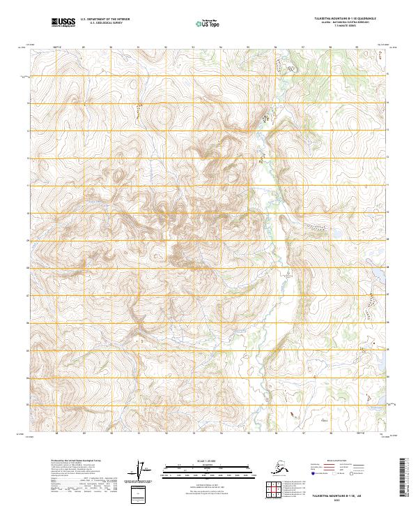
2023 Map of Talkeetna Mountains B-1 SE
USGS Topo · Published 2023About this map
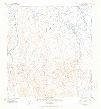
Tyone Creek and its complex network of tributaries define the high-altitude hydrology of this Matanuska-Susitna interior. Surveyed in the early 21st century, the landscape is shaped by the drainage systems of Sellick Creek in the northwest and Tolson Creek further east, highlighting a transition through undeveloped wilderness. The map documents the intricate topography where Daisy Creek and Grizzly Creek carve through the terrain, eventually converging or feeding into the larger watersheds of the Talkeetna Mountains. South Lake sits in the lower southeast corner, providing a rare still-water point in a region otherwise dominated by moving mountain streams and public land survey divisions like t6n r10w. This area represents a largely untouched corridor of the Alaskan backcountry, where the elevation contour patterns reveal the sheer verticality of the mountain range without the influence of established roads or settlements.
Find a feature on this map
11 named features on this map. Tap any name to fly to it.
Don’t see what you’re looking for? This feature index may not catch every label — zoom into the map to look around manually.
Map Details
Editions of this 2023 Talkeetna Mountains B-1 SE Map
This is the sole edition of this map. No revisions or reprints were ever made.
Other maps of this area

1949 · Talkeetna Mountains A-1
USGS Topo · 1:63,360

1949 · Gulkana A-6
USGS Topo · 1:63,360

1950 · Talkeetna Mountains
USGS Topo · 1:250,000

1950 · Gulkana B-6
USGS Topo · 1:63,360

1951 · Gulkana
USGS Topo · 1:250,000

1951 · Talkeetna Mountains B-1
USGS Topo · 1:63,360
1952 · Gulkana A-6
USGS Topo · 1:63,360
1952 · Talkeetna Mountains A-1
USGS Topo · 1:63,360
1952 · Gulkana B-6
USGS Topo · 1:63,360
1952 · Talkeetna Mountains B-1
USGS Topo · 1:63,360