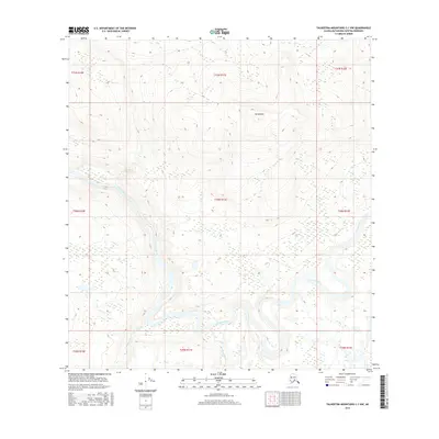
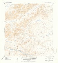
2016 Map of Talkeetna Mountains C-1 NW
USGS Topo · Published 2016About this map
Susitna River meanders through the heart of this landscape, forming a complex network of braided channels and riverine islands. This 2016 survey documents the dynamic waterway as it converges with the Oshetna River in the south-central portion of the quadrangle. The terrain is defined by the significant elevation of Banazdleni to the north, which overlooks the broad valley floor. Smaller tributaries like Goose Creek feed into the primary river system, illustrating the drainage patterns of the Matanuska-Susitna region. The map captures the wilderness character of the area, where the vast scale of the river system dominates the topography, providing a clear view of the natural hydrology before any modern development or infrastructure modified these primary Alaskan watercourses.
Find a feature on this map
13 named features on this map. Tap any name to fly to it.
Don’t see what you’re looking for? This feature index may not catch every label — zoom into the map to look around manually.
Map Details
Editions of this 2016 Talkeetna Mountains C-1 NW Map
This is the sole edition of this map. No revisions or reprints were ever made.
Other maps of this area

1950 · Talkeetna Mountains
USGS Topo · 1:250,000
1951 · Talkeetna Mountains C-2
USGS Topo · 1:63,360
1951 · Talkeetna Mountains D-2
USGS Topo · 1:63,360
1951 · Talkeetna Mountains C-1
USGS Topo · 1:63,360
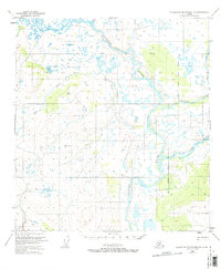
1951 · Talkeetna Mountains D-1
USGS Topo · 1:63,360
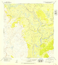
1952 · Talkeetna Mountains D-1
USGS Topo · 1:63,360
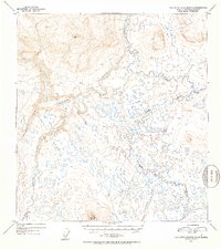
1952 · Talkeetna Mountains C-1
USGS Topo · 1:63,360
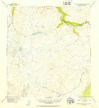
1952 · Talkeetna Mountains C-2
USGS Topo · 1:63,360
1952 · Talkeetna Mountains D-2
USGS Topo · 1:63,360

1954 · Talkeetna Mountains
USGS Topo · 1:250,000