
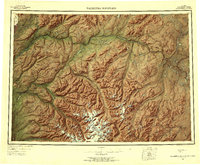
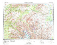
1954 Map of Talkeetna Mountains
USGS Topo · Published 1956About this map
The Alaska Railroad corridor serves as the primary artery for settlement and commerce in this mid-1950s survey of the Talkeetna Mountains. Small rail-dependent communities like Curry, Gold Creek, Sherman, and Hurricane are clustered along the western edge of the sheet, where the tracks follow the path carved by the Susitna River and the Chulitna River. This transportation network provides a stark contrast to the massive, roadless interior of the range to the east, defined by drainage basins and high-altitude features.
Find a feature on this map
39 named features on this map. Tap any name to fly to it.
Don’t see what you’re looking for? This feature index may not catch every label — zoom into the map to look around manually.
Map Details
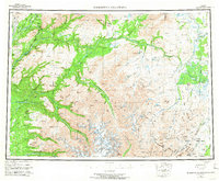
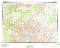
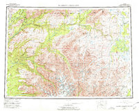
Editions of this 1954 Talkeetna Mountains Map
7 editions found
Other maps of this area

1948 · Anchorage D-3
USGS Topo · 1:63,360

1948 · Anchorage D-2
USGS Topo · 1:63,360

1948 · Anchorage D-4
USGS Topo · 1:63,360

1948 · Anchorage D-1
USGS Topo · 1:63,360

1949 · Tyonek
USGS Topo · 1:250,000

1949 · Talkeetna Mountains D-6
USGS Topo · 1:63,360

1949 · Anchorage D-5
USGS Topo · 1:63,360

1949 · Anchorage D-7
USGS Topo · 1:63,360

1949 · Talkeetna Mountains B-6
USGS Topo · 1:63,360

1949 · Talkeetna Mountains A-1
USGS Topo · 1:63,360