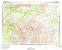
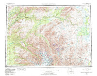
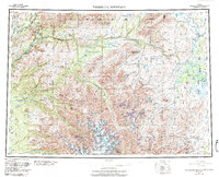
1954 Map of Talkeetna Mountains
USGS Topo · Published 1970About this map
The Alaska Railroad corridor defines the western edge of this interior landscape, tracing a thin line of human activity through the wilderness as it connects remote stations like Hurricane, Sherman, and Gold Creek. This mid-century survey illustrates the vital role of the rail line in supporting small outposts and mining interests near the Chulitna River. Beyond the rail belt, the terrain is dominated by the massive Talkeetna Mountains and a complex network of glacial drainages, including the formidable Devils Canyon on the Susitna River. Small settlements and landmarks such as Wells and High Lake offer points of reference for those tracing historical backcountry routes or early aviation and mining sites. The map also records the intersections of major land divisions, where the North Boundary Seward Meridian meets the Fairbanks Meridian amidst high peaks like Sovereign Mountain.
Find a feature on this map
62 named features on this map. Tap any name to fly to it.
Don’t see what you’re looking for? This feature index may not catch every label — zoom into the map to look around manually.
Map Details
Editions of this 1954 Talkeetna Mountains Map
7 editions found

Other maps of this area

1948 · Anchorage D-3
USGS Topo · 1:63,360

1948 · Anchorage D-2
USGS Topo · 1:63,360

1948 · Anchorage D-4
USGS Topo · 1:63,360

1948 · Anchorage D-1
USGS Topo · 1:63,360

1949 · Tyonek
USGS Topo · 1:250,000

1949 · Talkeetna Mountains D-6
USGS Topo · 1:63,360

1949 · Anchorage D-5
USGS Topo · 1:63,360

1949 · Anchorage D-7
USGS Topo · 1:63,360

1949 · Talkeetna Mountains B-6
USGS Topo · 1:63,360

1949 · Talkeetna Mountains A-1
USGS Topo · 1:63,360