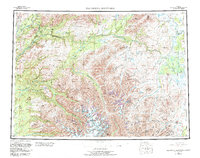
1954 Map of Talkeetna Mountains
USGS Topo · Published 1983About this map
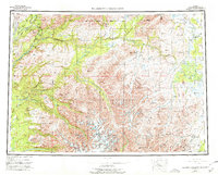
The Alaska Railroad serves as the primary artery for transportation and settlement through this subarctic corridor during the mid-20th century, tracing a narrow path along the Chulitna River and the Susitna River. Small railway stops such as Gold Creek, Sherman, and Hurricane mark the progress of the line as it skirts the western edges of the Talkeetna Mountains. The interior of this map is dominated by a complex network of glacial drainages, including the Talkeetna River and the Kashwitna River, which descend from high peaks like Sovereign Mountain. The presence of the High Lake Landing Strip and another Landing Strip near the Nelchina River highlights the reliance on bush aviation to reach the most remote parts of the territory, while the Devils Canyon represents a significant topographical bottleneck for the region's massive river systems.
Find a feature on this map
77 named features on this map. Tap any name to fly to it.
Don’t see what you’re looking for? This feature index may not catch every label — zoom into the map to look around manually.
Map Details
Editions of this 1954 Talkeetna Mountains Map
7 editions found

Other maps of this area

1948 · Anchorage D-3
USGS Topo · 1:63,360

1948 · Anchorage D-2
USGS Topo · 1:63,360

1948 · Anchorage D-4
USGS Topo · 1:63,360

1948 · Anchorage D-1
USGS Topo · 1:63,360

1949 · Tyonek
USGS Topo · 1:250,000

1949 · Talkeetna Mountains D-6
USGS Topo · 1:63,360

1949 · Anchorage D-5
USGS Topo · 1:63,360

1949 · Anchorage D-7
USGS Topo · 1:63,360

1949 · Talkeetna Mountains B-6
USGS Topo · 1:63,360

1949 · Talkeetna Mountains A-1
USGS Topo · 1:63,360