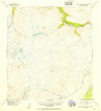
1952 Map of Talkeetna Mountains C-2
USGS Topo · Published 1953About this map
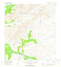
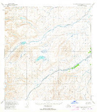
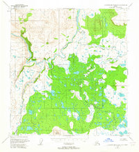
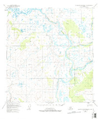
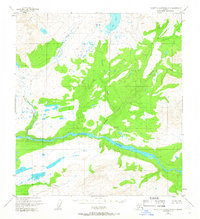
The Susitna River carves a dominant path through the northeastern corner of this 1952 topographic study, showcasing a landscape defined by high-elevation peaks and glacial drainage systems. Surveyed just after the war using 1949 aerial photography, the map reveals a wilderness with sparse human imprints, primarily limited to isolated Cabin locations. These small structures are strategically placed near water sources like Clarence Lake and the upper reaches of Gilbert Creek.
Find a feature on this map
9 named features on this map. Tap any name to fly to it.
Don’t see what you’re looking for? This feature index may not catch every label — zoom into the map to look around manually.
Map Details
Editions of this 1952 Talkeetna Mountains C-2 Map
2 editions found

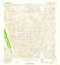
Other maps of this area

1950 · Talkeetna Mountains
USGS Topo · 1:250,000
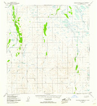
1951 · Talkeetna Mountains B-1
USGS Topo · 1:63,360
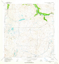
1951 · Talkeetna Mountains C-2
USGS Topo · 1:63,360
1951 · Talkeetna Mountains B-3
USGS Topo · 1:63,360
1951 · Talkeetna Mountains D-2
USGS Topo · 1:63,360
1951 · Talkeetna Mountains B-2
USGS Topo · 1:63,360
1951 · Talkeetna Mountains C-1
USGS Topo · 1:63,360
1951 · Talkeetna Mountains D-1
USGS Topo · 1:63,360
1951 · Talkeetna Mountains D-3
USGS Topo · 1:63,360
1951 · Talkeetna Mountains C-3
USGS Topo · 1:63,360