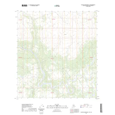
2023 Map of Talkeetna Mountains C-1 NW
USGS Topo · Published 2023About this map
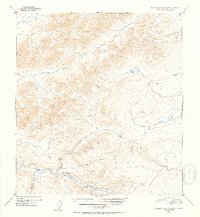
The Susitna River carves a massive glacial path through this high-latitude terrain in the Matanuska-Susitna Borough, where it is joined by the Oshetna River. The landscape is dominated by the prominent elevation of Eanazdleni, rising above the winding braided channels of the river valleys below. To the southwest, Goose Creek flows through a network of drainage basins that define the lower elevations. The map reveals a wild, unpopulated expanse of the Alaska interior, structured by the Public Land Survey System grids such as t30n r11e and t31n r11e. This document captures the intricate natural hydrology of the region as it existed in 2023, showing the complex interplay of river bends and high peaks where few permanent structures or roads have been established.
Find a feature on this map
13 named features on this map. Tap any name to fly to it.
Don’t see what you’re looking for? This feature index may not catch every label — zoom into the map to look around manually.
Map Details
Editions of this 2023 Talkeetna Mountains C-1 NW Map
This is the sole edition of this map. No revisions or reprints were ever made.
Other maps of this area

1950 · Talkeetna Mountains
USGS Topo · 1:250,000

1951 · Talkeetna Mountains C-2
USGS Topo · 1:63,360

1951 · Talkeetna Mountains D-2
USGS Topo · 1:63,360

1951 · Talkeetna Mountains C-1
USGS Topo · 1:63,360

1951 · Talkeetna Mountains D-1
USGS Topo · 1:63,360
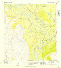
1952 · Talkeetna Mountains D-1
USGS Topo · 1:63,360
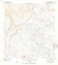
1952 · Talkeetna Mountains C-1
USGS Topo · 1:63,360
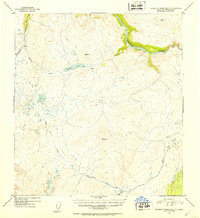
1952 · Talkeetna Mountains C-2
USGS Topo · 1:63,360
1952 · Talkeetna Mountains D-2
USGS Topo · 1:63,360

1954 · Talkeetna Mountains
USGS Topo · 1:250,000