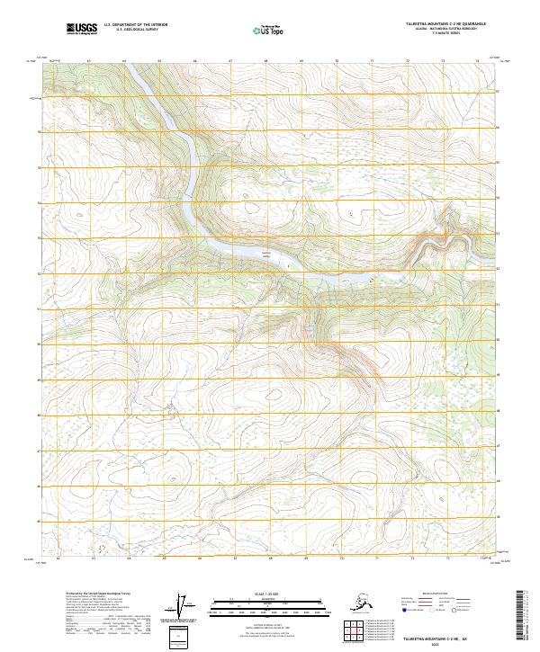
2023 Map of Talkeetna Mountains C-2 NE
USGS Topo · Published 2023About this map
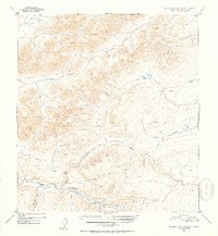
Susitna River carves a deep, winding path through the heart of the Susitna Valley, defining the primary drainage for this stretch of the Talkeetna Mountains. The terrain is dominated by steep elevation gains rising away from the river banks, with high ridges and benchlands that characterize this subarctic interior. The absence of roads or permanent structures on this 2023 survey underscores the area's role as a remote wilderness corridor, where the natural hydrography serves as the only significant landmark for navigation. This modern data set integrates Susitna River and Susitna Valley into the Public Land Survey System framework, including townships T31N R9E and T30N R10E, providing a precise topographic reference for the landforms shaped by the river's course.
Find a feature on this map
8 named features on this map. Tap any name to fly to it.
Don’t see what you’re looking for? This feature index may not catch every label — zoom into the map to look around manually.
Map Details
Editions of this 2023 Talkeetna Mountains C-2 NE Map
This is the sole edition of this map. No revisions or reprints were ever made.
Other maps of this area

1950 · Talkeetna Mountains
USGS Topo · 1:250,000

1951 · Talkeetna Mountains C-2
USGS Topo · 1:63,360

1951 · Talkeetna Mountains D-2
USGS Topo · 1:63,360

1951 · Talkeetna Mountains C-1
USGS Topo · 1:63,360

1951 · Talkeetna Mountains D-1
USGS Topo · 1:63,360
1952 · Talkeetna Mountains D-1
USGS Topo · 1:63,360
1952 · Talkeetna Mountains C-1
USGS Topo · 1:63,360
1952 · Talkeetna Mountains C-2
USGS Topo · 1:63,360
1952 · Talkeetna Mountains D-2
USGS Topo · 1:63,360

1954 · Talkeetna Mountains
USGS Topo · 1:250,000