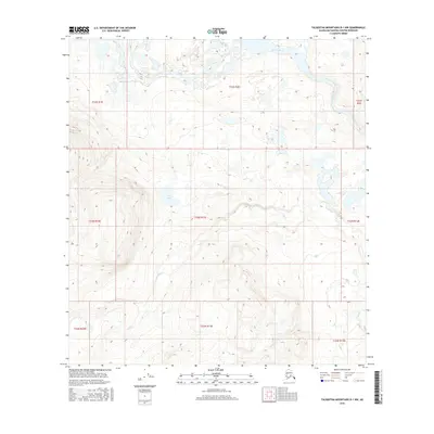
2016 Map of Talkeetna Mountains D-1 NW
USGS Topo · Published 2016About this map
Susitna River dominates the northern landscape of this Matanuska-Susitna Borough region, where the broad glacial waterway carves a wide path through the interior. Further south, the terrain rises into the highlands where Coal Lake and the various branches of Coal Cr define the local drainage patterns. This 2016 survey illustrates the high-altitude topography of the Talkeetna Mountains, where the natural water systems are the primary landmarks. The presence of Coal Lake and its associated creek suggests the geologic character of the underlying strata, while the extensive contour lines reveal the complex elevation changes across the many townships, including t33n r11e and t22s r2e.
Find a feature on this map
12 named features on this map. Tap any name to fly to it.
Don’t see what you’re looking for? This feature index may not catch every label — zoom into the map to look around manually.
Map Details
Editions of this 2016 Talkeetna Mountains D-1 NW Map
This is the sole edition of this map. No revisions or reprints were ever made.
Other maps of this area
1949 · Healy A-1
USGS Topo · 1:63,360

1950 · Talkeetna Mountains
USGS Topo · 1:250,000
1951 · Healy
USGS Topo · 1:250,000
1951 · Talkeetna Mountains D-2
USGS Topo · 1:63,360
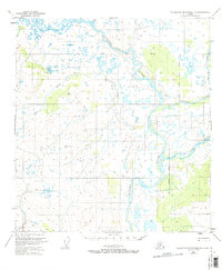
1951 · Talkeetna Mountains D-1
USGS Topo · 1:63,360
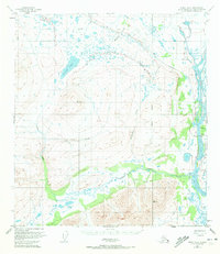
1951 · Healy A-2
USGS Topo · 1:63,360
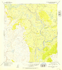
1952 · Talkeetna Mountains D-1
USGS Topo · 1:63,360
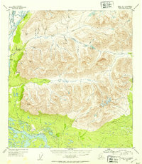
1952 · Healy A-1
USGS Topo · 1:63,360
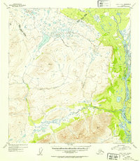
1952 · Healy A-2
USGS Topo · 1:63,360
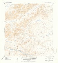
1952 · Talkeetna Mountains D-2
USGS Topo · 1:63,360