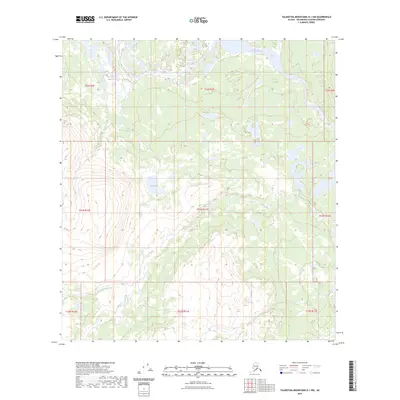
2023 Map of Talkeetna Mountains D-1 NW
USGS Topo · Published 2023About this map
The Susitna River flows through the northern reaches of this interior landscape, marking a prominent natural boundary in the northern Matanuska-Susitna Borough. This 2023 survey illustrates a wilderness defined by water and elevation, where Coal Lake sits nestled amidst high-altitude terrain. The drainage of Coal Creek provides a central corridor through the quadrangle, tracing a path that reveals the hydrological patterns of this remote region. The map provides precise topographic data for the townships within the Seward and Fairbanks Meridians, including t33n r11e and t22s r2e. For researchers, the document serves as a modern baseline of the natural features in the Talkeetna Mountains, where the absence of roads and settlements highlights the preserved character of the Alaskan backcountry.
Find a feature on this map
12 named features on this map. Tap any name to fly to it.
Don’t see what you’re looking for? This feature index may not catch every label — zoom into the map to look around manually.
Map Details
Editions of this 2023 Talkeetna Mountains D-1 NW Map
This is the sole edition of this map. No revisions or reprints were ever made.
Other maps of this area

1949 · Healy A-1
USGS Topo · 1:63,360

1950 · Talkeetna Mountains
USGS Topo · 1:250,000

1951 · Healy
USGS Topo · 1:250,000

1951 · Talkeetna Mountains D-2
USGS Topo · 1:63,360

1951 · Talkeetna Mountains D-1
USGS Topo · 1:63,360

1951 · Healy A-2
USGS Topo · 1:63,360
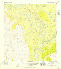
1952 · Talkeetna Mountains D-1
USGS Topo · 1:63,360
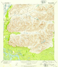
1952 · Healy A-1
USGS Topo · 1:63,360

1952 · Healy A-2
USGS Topo · 1:63,360
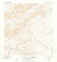
1952 · Talkeetna Mountains D-2
USGS Topo · 1:63,360