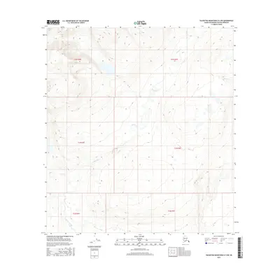
2016 Map of Talkeetna Mountains D-3 NW
USGS Topo · Published 2016About this map
Deadman Creek meanders through the high-elevation terrain of the Talkeetna Mountains D-3 NW quadrangle, carving a drainage pattern through the Matanuska-Susitna Borough. This 2016 survey illustrates a largely unpopulated wilderness where glacial action and alpine hydrology dictate the landscape. In the northeastern corner, the headwaters of Delusion Cr emerge among the contours, eventually feeding into larger regional watersheds. The map reflects a modern baseline for this remote area, documenting the exact paths of Deadman Cr and its tributaries across several townships including t22s r5w and t33n r6e. It serves as a precise record of watercourses and land divisions in a subarctic environment where few permanent structures or roads exist.
Find a feature on this map
9 named features on this map. Tap any name to fly to it.
Don’t see what you’re looking for? This feature index may not catch every label — zoom into the map to look around manually.
Map Details
Editions of this 2016 Talkeetna Mountains D-3 NW Map
This is the sole edition of this map. No revisions or reprints were ever made.
Other maps of this area

1950 · Talkeetna Mountains
USGS Topo · 1:250,000
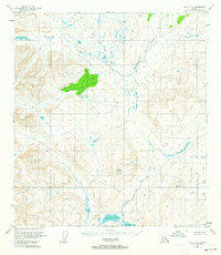
1950 · Healy A-3
USGS Topo · 1:63,360
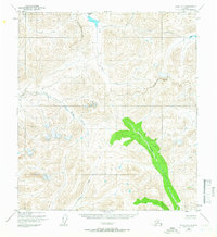
1950 · Healy A-4
USGS Topo · 1:63,360
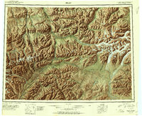
1951 · Healy
USGS Topo · 1:250,000
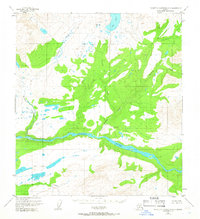
1951 · Talkeetna Mountains D-3
USGS Topo · 1:63,360
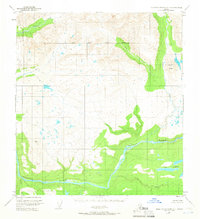
1951 · Talkeetna Mountains D-4
USGS Topo · 1:63,360
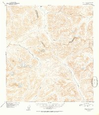
1952 · Healy A-4
USGS Topo · 1:63,360
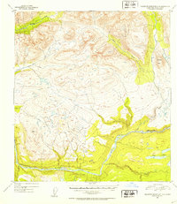
1952 · Talkeetna Mountains D-4
USGS Topo · 1:63,360
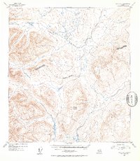
1952 · Healy A-3
USGS Topo · 1:63,360
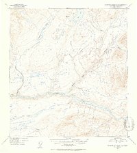
1953 · Talkeetna Mountains D-3
USGS Topo · 1:63,360