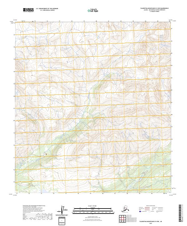
2023 Map of Talkeetna Mountains D-5 NW
USGS Topo · Published 2023About this map
Indian River flows south through the center of this terrain within the Matanuska-Susitna Borough, defining the drainage patterns of this high-elevation Alaskan landscape. The waterway is joined by Thoroughfare Creek in the northeastern section of the quadrangle, while Portage Creek marks the southeastern corner. This 2023 survey illustrates the complex topography of the Talkeetna Mountains, where the land is divided by several township and range lines including t22s r10w, t33n r1w, and t32n r1e. The map reveals a wild, unpopulated territory where the natural hydrography dictates the movement of water across steep contours, offering a detailed perspective on a region primarily defined by its river systems and mountain peaks.
Find a feature on this map
9 named features on this map. Tap any name to fly to it.
Don’t see what you’re looking for? This feature index may not catch every label — zoom into the map to look around manually.
Map Details
Editions of this 2023 Talkeetna Mountains D-5 NW Map
This is the sole edition of this map. No revisions or reprints were ever made.
Other maps of this area

1949 · Talkeetna Mountains D-6
USGS Topo · 1:63,360

1949 · Healy A-6
USGS Topo · 1:63,360

1950 · Talkeetna Mountains
USGS Topo · 1:250,000

1950 · Talkeetna Mountains D-5
USGS Topo · 1:63,360

1950 · Healy A-5
USGS Topo · 1:63,360

1951 · Healy
USGS Topo · 1:250,000

1951 · Talkeetna Mountains D-5
USGS Topo · 1:63,360

1951 · Talkeetna Mountains D-6
USGS Topo · 1:63,360

1952 · Healy A-5
USGS Topo · 1:63,360

1952 · Talkeetna Mountains D-6
USGS Topo · 1:63,360