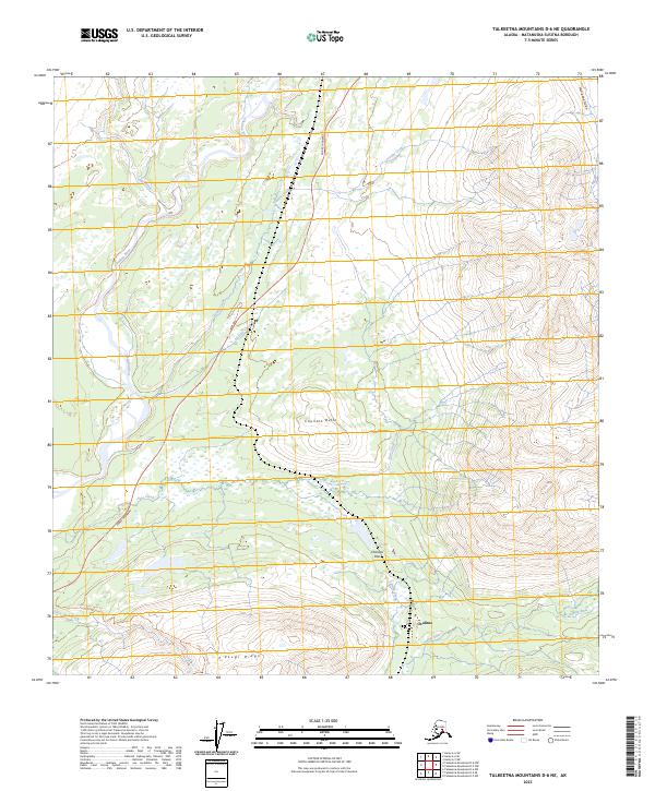
2023 Map of Talkeetna Mountains D-6 NE
USGS Topo · Published 2023About this map
Chulitna and the winding course of the Chulitna River dominate this interior Alaskan landscape, which centers on the high-altitude transit corridor between the Parks Highway and the surrounding peaks. The terrain is defined by dramatic elevation changes, notably along Kesugi Ridge and the prominent Chulitna Butte. Transport and recreational access are primary features of this environment, with the Little Coal Creek Trl providing a path through the foothills and Chulitna Pass offering a natural route through the mountains. Water systems are extensive, including the headwaters of the Indian River and the high-elevation Summit Lake. These features reveal a landscape primarily managed for transit and wilderness preservation, where human activity is concentrated along the highway corridor while the broader area remains defined by its natural drainage basins, including Ohio Creek and Granite Creek.
Find a feature on this map
23 named features on this map. Tap any name to fly to it.
Don’t see what you’re looking for? This feature index may not catch every label — zoom into the map to look around manually.
Map Details
Editions of this 2023 Talkeetna Mountains D-6 NE Map
This is the sole edition of this map. No revisions or reprints were ever made.
Other maps of this area

1949 · Talkeetna Mountains D-6
USGS Topo · 1:63,360

1949 · Healy A-6
USGS Topo · 1:63,360

1950 · Talkeetna Mountains
USGS Topo · 1:250,000

1950 · Talkeetna Mountains D-5
USGS Topo · 1:63,360

1950 · Healy A-5
USGS Topo · 1:63,360

1951 · Healy
USGS Topo · 1:250,000

1951 · Talkeetna Mountains D-5
USGS Topo · 1:63,360

1951 · Talkeetna Mountains D-6
USGS Topo · 1:63,360

1952 · Healy A-5
USGS Topo · 1:63,360

1952 · Talkeetna Mountains D-6
USGS Topo · 1:63,360