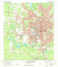
1970 Map of Tallahassee
USGS Topo · Published 1972About this map
Florida State University and Florida A&M University anchor the urban core of Florida’s capital during this period of significant mid-century expansion. The landscape transitions from the dense street grid surrounding the Capitol and Old City Cem to the emerging suburbs of Bloxham Heights and University Heights. To the south and west, the map reveals the proximity of the Apalachicola National Forest and the Tallahassee Municipal Airport, while the Seaboard Coast Line Railroad carves through the city, reflecting its enduring role in regional transport.
Find a feature on this map
137 named features on this map. Tap any name to fly to it.
Don’t see what you’re looking for? This feature index may not catch every label — zoom into the map to look around manually.
Map Details
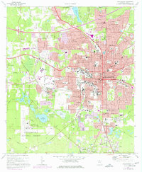
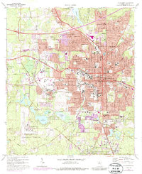
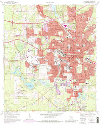
Editions of this 1970 Tallahassee Map
4 editions found
Other maps of this area

1940 · Tallahassee
USGS Topo · 1:62,500

1942 · Tallahassee
USGS Topo · 1:62,500

1943 · Tallahassee
USGS Topo · 1:62,500

1954 · Lafayette
USGS Topo · 1:24,000

1954 · Woodville
USGS Topo · 1:24,000

1954 · Tallahassee
USGS Topo · 1:250,000

1959 · Tallahassee
USGS Topo · 1:250,000

1960 · Tallahassee
USGS Topo · 1:250,000
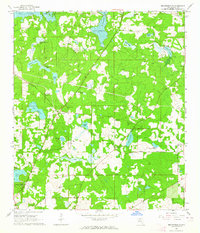
1963 · Bradfordville
USGS Topo · 1:24,000

1963 · Lake Jackson
USGS Topo · 1:24,000