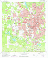
1970 Map of Tallahassee
USGS Topo · Published 1977About this map
The Florida state capital and its surrounding institutional landscapes are documented here as the city expanded southward toward the Apalachicola National Forest. The downtown core is defined by landmarks like the Courthouse, City Hall, and Governor's Mansion, while the academic footprints of Florida State University and Florida A&M University dominate the central-west sections. Beyond the urban grid, the map shows the complex hydrology of the region, featuring Lake Bradford, Lake Hiawatha, and the marshy Black Swamp. Industrial and utility infrastructure, including the Tallahassee Municipal Airport and several sewage disposal sites, mark the city's growth. Cultural and historical sites are numerous, ranging from Indian Mounds State Park in the north to the historic Old City Cemetery, reflecting the multi-layered history of the Panhandle's political center.
Find a feature on this map
119 named features on this map. Tap any name to fly to it.
Don’t see what you’re looking for? This feature index may not catch every label — zoom into the map to look around manually.
Map Details
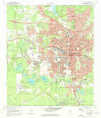
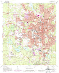
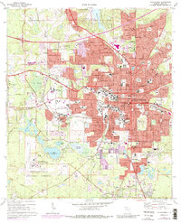
Editions of this 1970 Tallahassee Map
4 editions found
Other maps of this area

1940 · Tallahassee
USGS Topo · 1:62,500

1942 · Tallahassee
USGS Topo · 1:62,500

1943 · Tallahassee
USGS Topo · 1:62,500

1954 · Lafayette
USGS Topo · 1:24,000

1954 · Woodville
USGS Topo · 1:24,000

1954 · Tallahassee
USGS Topo · 1:250,000

1959 · Tallahassee
USGS Topo · 1:250,000

1960 · Tallahassee
USGS Topo · 1:250,000
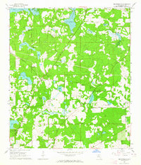
1963 · Bradfordville
USGS Topo · 1:24,000

1963 · Lake Jackson
USGS Topo · 1:24,000