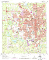
1970 Map of Tallahassee
USGS Topo · Published 1987About this map
The Florida state capital and its academic institutions dominate this survey, which documents Tallahassee during a period of significant urban growth. The city’s core is anchored by the Capitol, Old City Hall, and the expansive campuses of Florida State University and Florida A & M University. To the west and south, the landscape transitions from developed city blocks into the wetlands and pine woods of the Apalachicola National Forest, featuring landmarks like Lake Bradford and the Tallahassee Municipal Airport. Transportation is defined by the Seaboard Coast Line railroad and the newly constructed corridor of Interstate 10 cutting across the northern edge of the map. Suburban expansion is evident in neighborhoods like Belair and Lakeside, while established local history is preserved at Roselawn Cemetery and Oakland Cemetery.
Find a feature on this map
118 named features on this map. Tap any name to fly to it.
Don’t see what you’re looking for? This feature index may not catch every label — zoom into the map to look around manually.
Map Details
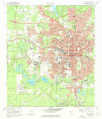
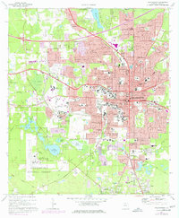
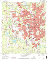
Editions of this 1970 Tallahassee Map
4 editions found
Other maps of this area

1940 · Tallahassee
USGS Topo · 1:62,500

1942 · Tallahassee
USGS Topo · 1:62,500

1943 · Tallahassee
USGS Topo · 1:62,500

1954 · Lafayette
USGS Topo · 1:24,000

1954 · Woodville
USGS Topo · 1:24,000

1954 · Tallahassee
USGS Topo · 1:250,000

1959 · Tallahassee
USGS Topo · 1:250,000

1960 · Tallahassee
USGS Topo · 1:250,000
1963 · Bradfordville
USGS Topo · 1:24,000

1963 · Lake Jackson
USGS Topo · 1:24,000