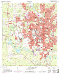
1970 Map of Tallahassee
USGS Topo · Published 1987About this map
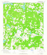
Tallahassee is captured here as a rapidly evolving capital city during the early 1970s, with urban expansion pushing toward the edges of the Apalachicola National Forest and the Tallahassee Municipal Airport. The map highlights the sprawling campuses of Florida State University and Florida A & M University, including landmarks like Campbell Stadium. Beyond the institutional core, the landscape is defined by its characteristic sinkhole lakes and wetlands, such as Lake Bradford, Gum Swamp, and the Meginnis Arm of Lake Jackson to the north.
Find a feature on this map
122 named features on this map. Tap any name to fly to it.
Don’t see what you’re looking for? This feature index may not catch every label — zoom into the map to look around manually.
Map Details
Editions of this 1970 Tallahassee Map
4 editions found
Other maps of this area

1940 · Tallahassee
USGS Topo · 1:62,500

1942 · Tallahassee
USGS Topo · 1:62,500

1943 · Tallahassee
USGS Topo · 1:62,500

1954 · Lafayette
USGS Topo · 1:24,000

1954 · Woodville
USGS Topo · 1:24,000

1954 · Tallahassee
USGS Topo · 1:250,000

1959 · Tallahassee
USGS Topo · 1:250,000

1960 · Tallahassee
USGS Topo · 1:250,000
1963 · Bradfordville
USGS Topo · 1:24,000

1963 · Lake Jackson
USGS Topo · 1:24,000