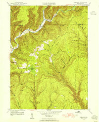
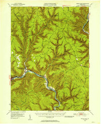
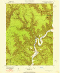
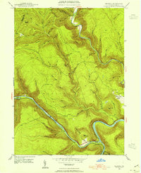
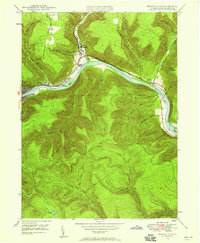
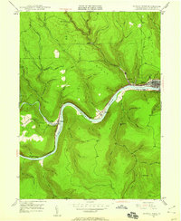
1946 Map of Tamarack
USGS Topo · Published 1955About this map
Kettle Creek winds through a deep, narrow valley in this mid-1940s topographical record of the Pennsylvania Wilds. The small settlements of Cross Fork and Tamarack serve as the primary human outposts in a landscape dominated by steep ridges and a dense network of mountain streams. High points like Dykes Peak, Turtle Point, and Keeney Mountain overlook an area defined by its timber and water resources, evidenced by landmarks such as Browns Mill and the Tamarack Lookout Tower. The northern boundary between Potter and Clinton counties cuts through the rugged high ground of Bullis and the headwaters of numerous runs. Significant natural features like the Tamarack Swamp highlight the unique upland hydrology of the plateau, where drainage basins for Drury Run and Paddy Run converge amidst dozens of named hollows like Bark Shanty Hollow and Devils Elbow Hollow.
Find a feature on this map
74 named features on this map. Tap any name to fly to it.
Don’t see what you’re looking for? This feature index may not catch every label — zoom into the map to look around manually.
Map Details
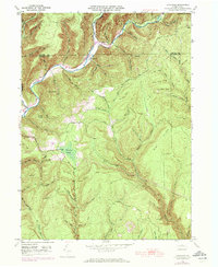
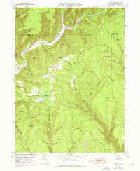
Editions of this 1946 Tamarack Map
4 editions found

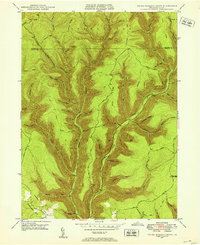
Other maps of this area

1943 · Hyner
USGS Topo · 1:62,500
1946 · Young Womans Creek
USGS Topo · 1:24,000
1946 · Renovo East
USGS Topo · 1:62,500

1946 · Renovo West
USGS Topo · 1:62,500
1946 · Hammersley Fork
USGS Topo · 1:24,000
1946 · Keating
USGS Topo · 1:24,000
1946 · Renovo East
USGS Topo · 1:24,000
1946 · Renovo West
USGS Topo · 1:24,000

1947 · Conrad
USGS Topo · 1:62,500
1947 · Galeton
USGS Topo · 1:62,500
Featured Places
- Leidy Township, PA
- Wharton Township, PA
- Tamarack, Leidy Township
- Cross Fork, Stewardson Township
- Stewardson Township, PA