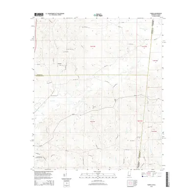
2015 Map of Tamola
USGS Topo · Published 2015About this map
The Lauderdale Springs Confederate-Union Cem stands as a significant historical marker in this borderland between Mississippi and Alabama, reflecting the deep regional history of the mid-19th century. Located south of the community of Tamola, this site is surrounded by a landscape defined by its complex drainage network, including the Sucarnoochee River and Ponta Cr. The map reveals a high density of family and community burial grounds, such as Mount Hebron Cem, Anna York Cem, and Center Ridge Cem, which serve as vital points of reference for genealogical research.
Find a feature on this map
55 named features on this map. Tap any name to fly to it.
Don’t see what you’re looking for? This feature index may not catch every label — zoom into the map to look around manually.
Map Details
Editions of this 2015 Tamola Map
This is the sole edition of this map. No revisions or reprints were ever made.
Other maps of this area
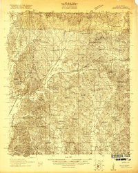
1921 · Meridian
USGS Topo · 1:48,000
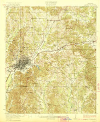
1923 · Meridian
USGS Topo · 1:62,500
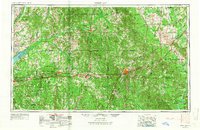
1953 · Meridian
USGS Topo · 1:250,000
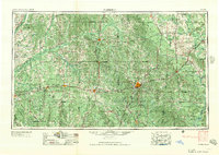
1957 · Meridian
USGS Topo · 1:250,000
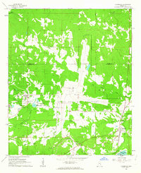
1962 · Lauderdale
USGS Topo · 1:24,000
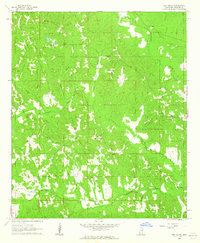
1962 · Oak Grove
USGS Topo · 1:24,000
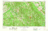
1965 · Meridian
USGS Topo · 1:250,000
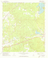
1971 · Toomsuba
USGS Topo · 1:24,000
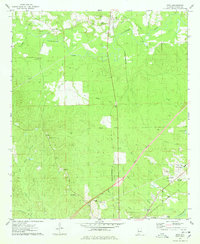
1974 · Boyd
USGS Topo · 1:24,000
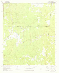
1974 · Tamola
USGS Topo · 1:24,000