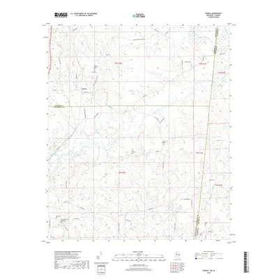
2018 Map of Tamola
USGS Topo · Published 2018About this map
Tamola sits at the intersection of Tamola Rd and Wilkins Rd, serving as a central point in this borderland survey where Kemper and Lauderdale counties meet the Alabama state line. The landscape is defined by a dense network of watercourses, including the Sucarnoochee River in the northeast and Ponta Creek, which winds through the central terrain. A significant historical site, the Lauderdale Springs Confederate Union Cem, is located near the southern margin, providing a specific point of interest for genealogists and Civil War historians.
Find a feature on this map
63 named features on this map. Tap any name to fly to it.
Don’t see what you’re looking for? This feature index may not catch every label — zoom into the map to look around manually.
Map Details
Editions of this 2018 Tamola Map
This is the sole edition of this map. No revisions or reprints were ever made.
Other maps of this area
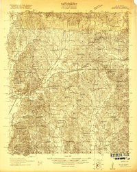
1921 · Meridian
USGS Topo · 1:48,000
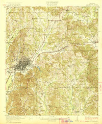
1923 · Meridian
USGS Topo · 1:62,500
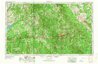
1953 · Meridian
USGS Topo · 1:250,000
1957 · Meridian
USGS Topo · 1:250,000
1962 · Lauderdale
USGS Topo · 1:24,000
1962 · Oak Grove
USGS Topo · 1:24,000
1965 · Meridian
USGS Topo · 1:250,000
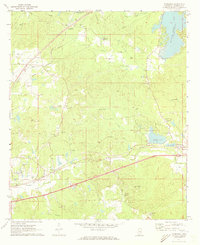
1971 · Toomsuba
USGS Topo · 1:24,000
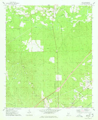
1974 · Boyd
USGS Topo · 1:24,000
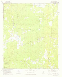
1974 · Tamola
USGS Topo · 1:24,000