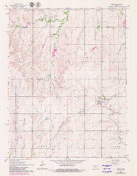
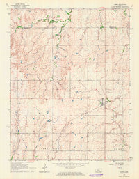
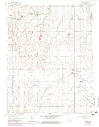
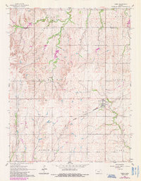
1964 Map of Tampa
USGS Topo · Published 1980About this map
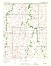
The town of Tampa serves as the central hub of this mid-century survey, situated at the intersection of local township boundaries including Blaine, Colfax, and Durham Park. The landscape is defined by the critical transit corridor of the Chicago Rock Island and Pacific railroad, which cuts diagonally through the southern half of the quadrangle. This infrastructure supported the surrounding agricultural community, where small family cemeteries like College Hill Cem and North Cem are scattered across the rural sections.
Find a feature on this map
16 named features on this map. Tap any name to fly to it.
Don’t see what you’re looking for? This feature index may not catch every label — zoom into the map to look around manually.
Map Details
Editions of this 1964 Tampa Map
4 editions found
Other maps of this area

1889 · Newton
USGS Topo · 1:125,000

1889 · Abilene
USGS Topo · 1:125,000

1894 · Newton
USGS Topo · 1:125,000

1894 · Abilene
USGS Topo · 1:125,000

1955 · Hutchinson
USGS Topo · 1:250,000

1959 · Hutchinson
USGS Topo · 1:250,000
1964 · Elmo
USGS Topo · 1:24,000
1964 · Carlton
USGS Topo · 1:24,000
1964 · Ramona
USGS Topo · 1:24,000
1964 · Hope
USGS Topo · 1:24,000