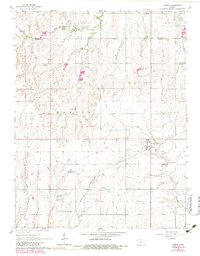
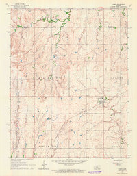
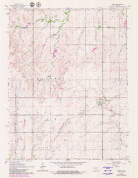
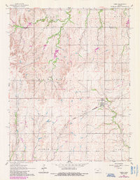
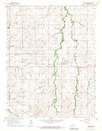
1964 Map of Tampa
USGS Topo · Published 1983About this map
The town of Tampa serves as a central hub in this section of Marion County, situated along the Chicago Rock Island and Pacific railroad. This 1964 survey captures the agrarian landscape of central Kansas during a period of infrastructure updates, evidenced by the purple-shaded revisions from 1978 that show emerging developments and a prominent Pipeline cutting across the plains. The terrain is defined by the drainage patterns of West Turkey Creek, Middle Branch Turkey Creek, and East Turkey Creek, which carve through the townships of Banner, Hope, and Blaine.
Find a feature on this map
19 named features on this map. Tap any name to fly to it.
Don’t see what you’re looking for? This feature index may not catch every label — zoom into the map to look around manually.
Map Details
Editions of this 1964 Tampa Map
4 editions found
Other maps of this area

1889 · Newton
USGS Topo · 1:125,000

1889 · Abilene
USGS Topo · 1:125,000

1894 · Newton
USGS Topo · 1:125,000

1894 · Abilene
USGS Topo · 1:125,000

1955 · Hutchinson
USGS Topo · 1:250,000

1959 · Hutchinson
USGS Topo · 1:250,000
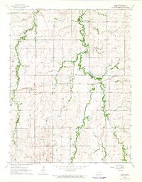
1964 · Elmo
USGS Topo · 1:24,000
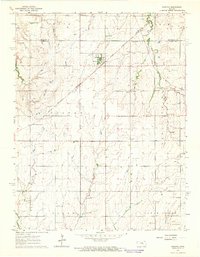
1964 · Carlton
USGS Topo · 1:24,000
1964 · Ramona
USGS Topo · 1:24,000
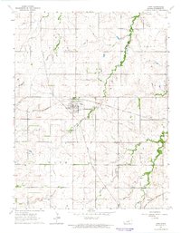
1964 · Hope
USGS Topo · 1:24,000