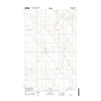
2014 Map of Tampico
USGS Topo · Published 2014About this map
Milk River meandering through the Valley County plains defines the landscape around the settlement of Tampico. This 2014 survey captures a rural Montana community shaped by its waterways and agricultural infrastructure, where the Tampico Bridge provides a vital crossing point over the river's complex oxbows. The area is marked by a network of drainage coulees, including Unger Coulee and Hay Coulee, which cut through the surrounding ranch land. Aviation history in this corner of the state is represented by the Etchart Field Airport, situated north of the river. The map also traces an extensive system of rural roads such as Wheatland Rd and Billingsley Rd, reflecting the grid-based land management of the region. Natural water sources like Antelope Spring and seasonal flows such as Buggy Cr highlight the reliance on dispersed water points in this semi-arid environment.
Find a feature on this map
28 named features on this map. Tap any name to fly to it.
Don’t see what you’re looking for? This feature index may not catch every label — zoom into the map to look around manually.
Map Details
Editions of this 2014 Tampico Map
This is the sole edition of this map. No revisions or reprints were ever made.
Other maps of this area
1943 · Glasgow
USGS Topo · 1:125,000

1954 · Glasgow
USGS Topo · 1:250,000

1957 · Glasgow
USGS Topo · 1:250,000

1958 · Glasgow
USGS Topo · 1:250,000
1958 · Engstrom Ranch
USGS Topo · 1:24,000
1958 · Miller Coulee
USGS Topo · 1:62,500
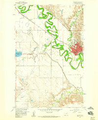
1958 · Glasgow
USGS Topo · 1:24,000
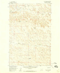
1958 · Billick Coulee
USGS Topo · 1:24,000
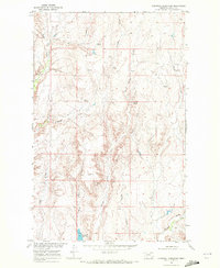
1969 · Cornwell Reservoir
USGS Topo · 1:24,000
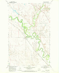
1969 · Tampico
USGS Topo · 1:24,000