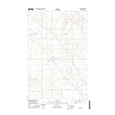
2017 Map of Tampico
USGS Topo · Published 2017About this map
Tampico serves as the focal point of this Valley County landscape, situated along a prominent bend of the Milk River. The settlement's connection to the surrounding plains is anchored by the Tampico Bridge, which facilitates movement across the winding river valley. The terrain is defined by its drainage patterns, where features like Unger Coulee and Hay Coulee carve into the high ground above the river flats. Water sources such as Antelope Spring and numerous small tributaries, including Buggy Cr and Spring Cr, dot the map, indicating the vital importance of water management in this northern Montana region. A network of rural routes, including Tampico N Rd and Billingsley Rd, connect the dispersed farmsteads and agricultural plots that comprise the local economy.
Find a feature on this map
26 named features on this map. Tap any name to fly to it.
Don’t see what you’re looking for? This feature index may not catch every label — zoom into the map to look around manually.
Map Details
Editions of this 2017 Tampico Map
This is the sole edition of this map. No revisions or reprints were ever made.
Other maps of this area
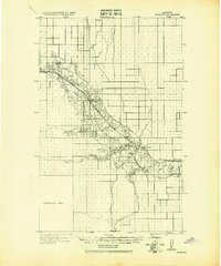
1943 · Glasgow
USGS Topo · 1:125,000

1954 · Glasgow
USGS Topo · 1:250,000

1957 · Glasgow
USGS Topo · 1:250,000

1958 · Glasgow
USGS Topo · 1:250,000
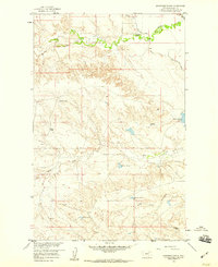
1958 · Engstrom Ranch
USGS Topo · 1:24,000
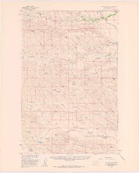
1958 · Miller Coulee
USGS Topo · 1:62,500
1958 · Glasgow
USGS Topo · 1:24,000
1958 · Billick Coulee
USGS Topo · 1:24,000
1969 · Cornwell Reservoir
USGS Topo · 1:24,000
1969 · Tampico
USGS Topo · 1:24,000