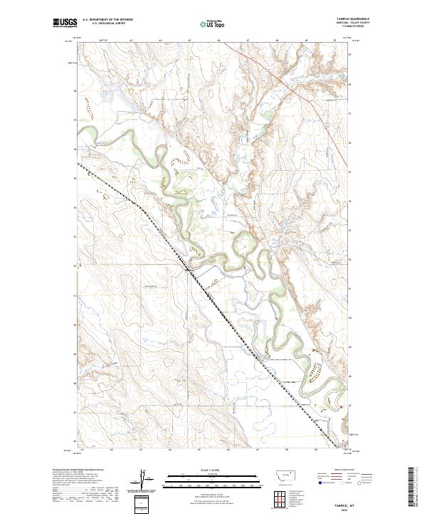
2024 Map of Tampico
USGS Topo · Published 2024About this map
Tampico serves as the central point in this Valley County landscape, where the winding course of the Milk River dictates the layout of the valley floor. The terrain is defined by a series of drainage systems, including Buggy Creek, Spring Creek, and Unger Coulee, which carve through the high ground north of the river. These natural pathways historically influenced the placement of rural roads like Tampico Rd and Caine Rd, which follow the contours of the land to connect isolated homesteads and grazing lands.
Find a feature on this map
25 named features on this map. Tap any name to fly to it.
Don’t see what you’re looking for? This feature index may not catch every label — zoom into the map to look around manually.
Map Details
Editions of this 2024 Tampico Map
This is the sole edition of this map. No revisions or reprints were ever made.
Other maps of this area

1943 · Glasgow
USGS Topo · 1:125,000

1954 · Glasgow
USGS Topo · 1:250,000

1957 · Glasgow
USGS Topo · 1:250,000

1958 · Glasgow
USGS Topo · 1:250,000

1958 · Engstrom Ranch
USGS Topo · 1:24,000

1958 · Miller Coulee
USGS Topo · 1:62,500

1958 · Glasgow
USGS Topo · 1:24,000
1958 · Billick Coulee
USGS Topo · 1:24,000

1969 · Cornwell Reservoir
USGS Topo · 1:24,000
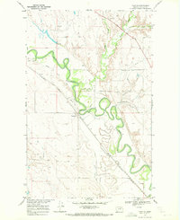
1969 · Tampico
USGS Topo · 1:24,000