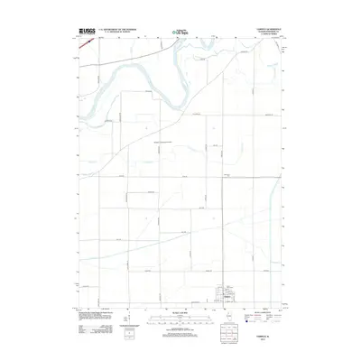
2012 Map of Tampico
USGS Topo · Published 2012About this map
Tampico serves as the primary hub of this northern Illinois landscape, positioned where the local grid of farm roads meets the historic canal-side layout of the village south of Saint Marys Cem. The geography is defined by a complex network of waterways feeding into the Rock River, which meanders through the northwest corner of the quadrangle. Low-lying drainage patterns are evident in the numerous sloughs and named ditches, including Spring Slough and Paddock Slough, which highlight the area's agricultural reclamation history.
Find a feature on this map
41 named features on this map. Tap any name to fly to it.
Don’t see what you’re looking for? This feature index may not catch every label — zoom into the map to look around manually.
Map Details
Editions of this 2012 Tampico Map
This is the sole edition of this map. No revisions or reprints were ever made.
Other maps of this area

1930 · Woodsung
USGS Topo · 1:48,000

1932 · Prophetstown
USGS Topo · 1:48,000

1934 · Morrison
USGS Topo · 1:48,000

1936 · Prophetstown
USGS Topo · 1:62,500

1940 · Morrison
USGS Topo · 1:62,500

1946 · Sterling
USGS Topo · 1:62,500

1948 · Sterling
USGS Topo · 1:62,500

1949 · Walnut
USGS Topo · 1:62,500

1958 · Aurora
USGS Topo · 1:250,000

1961 · Aurora
USGS Topo · 1:250,000