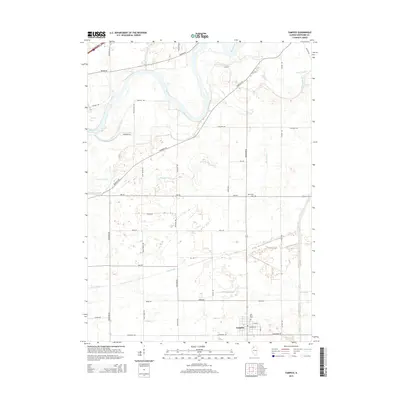
2015 Map of Tampico
USGS Topo · Published 2015About this map
The village of Tampico anchors the southeastern corner of this Whiteside County landscape, situated amidst an extensive network of drainage ditches and prairie sloughs. This modern survey illustrates a highly organized agricultural grid defined by long-established thoroughfares such as Matznick Rd, Yorktown Rd, and Prophets Rd. The Rock River winds through the northern portion of the quadrangle, flanked by wetlands like Spring Slough and Ramsey Slough. Local history and genealogy are preserved at Saint Marys Cem on the outskirts of the village and the more isolated Old Hume Cem to the north along Star Rd. The hydrology of the area is further characterized by the meandering courses of Ellsworth Cr and Coon Creek, which reflect the low-lying nature of the terrain in this part of Illinois.
Find a feature on this map
38 named features on this map. Tap any name to fly to it.
Don’t see what you’re looking for? This feature index may not catch every label — zoom into the map to look around manually.
Map Details
Editions of this 2015 Tampico Map
This is the sole edition of this map. No revisions or reprints were ever made.
Other maps of this area
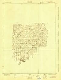
1930 · Woodsung
USGS Topo · 1:48,000
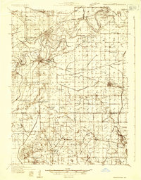
1932 · Prophetstown
USGS Topo · 1:48,000
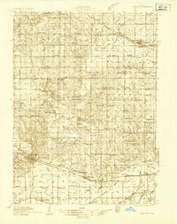
1934 · Morrison
USGS Topo · 1:48,000
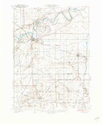
1936 · Prophetstown
USGS Topo · 1:62,500
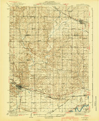
1940 · Morrison
USGS Topo · 1:62,500
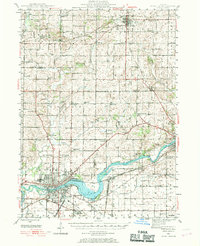
1946 · Sterling
USGS Topo · 1:62,500
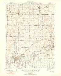
1948 · Sterling
USGS Topo · 1:62,500
1949 · Walnut
USGS Topo · 1:62,500
1958 · Aurora
USGS Topo · 1:250,000
1961 · Aurora
USGS Topo · 1:250,000