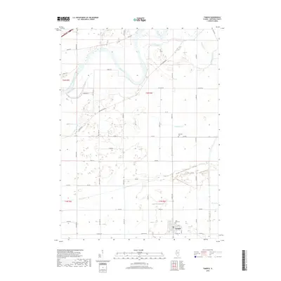
2018 Map of Tampico
USGS Topo · Published 2018About this map
Tampico anchors the southern portion of this Whiteside County landscape, situated at the junction of E 2nd St and the historic Co Hwy 12. The terrain is defined by the sweeping course of the Rock River in the northwest, which is fed by an intricate network of waterways including Spring Slough and Ramsey Slough. This modern survey documents the persistent grid of rural roads like Luther Rd and Prophetstown Rd that have organized the region since its early agricultural development.
Find a feature on this map
42 named features on this map. Tap any name to fly to it.
Don’t see what you’re looking for? This feature index may not catch every label — zoom into the map to look around manually.
Map Details
Editions of this 2018 Tampico Map
This is the sole edition of this map. No revisions or reprints were ever made.
Other maps of this area
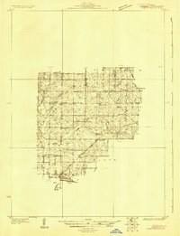
1930 · Woodsung
USGS Topo · 1:48,000
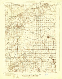
1932 · Prophetstown
USGS Topo · 1:48,000
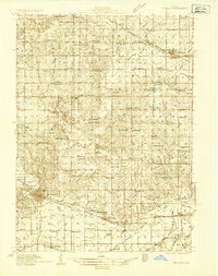
1934 · Morrison
USGS Topo · 1:48,000
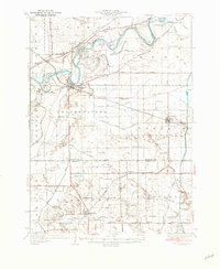
1936 · Prophetstown
USGS Topo · 1:62,500
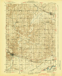
1940 · Morrison
USGS Topo · 1:62,500
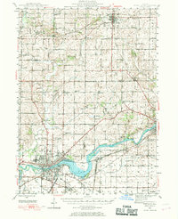
1946 · Sterling
USGS Topo · 1:62,500
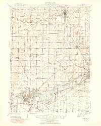
1948 · Sterling
USGS Topo · 1:62,500
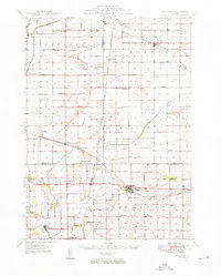
1949 · Walnut
USGS Topo · 1:62,500
1958 · Aurora
USGS Topo · 1:250,000
1961 · Aurora
USGS Topo · 1:250,000