
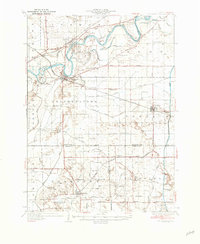
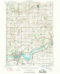
1982 Map of Tampico
USGS Topo · Published 1982About this map
The Rock River winds through the northern portion of this landscape, flanked by the lowlands of Ramsey Slough and Spring Slough. In the south, the village of Tampico serves as a focal point, situated at the junction of the Burlington Northern railroad and a grid of rural routes like Yorktown Road. The area's agricultural character is defined by an extensive drainage system, including the prominent Hennepin Canal State Park Feeder and various numbered waterways like County Ditch No 1. Local heritage is preserved in landmarks such as St Marys Cem, Maple Hill Cem, and the small settlement of Olson. Smaller aviation and educational sites, including the Rutherford Landing Strip and Maple Hill Sch, reflect the distributed rural community life during the early 1980s.
Find a feature on this map
45 named features on this map. Tap any name to fly to it.
Don’t see what you’re looking for? This feature index may not catch every label — zoom into the map to look around manually.
Map Details
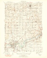
Editions of this 1982 Tampico Map
This is the sole edition of this map. No revisions or reprints were ever made.
Other maps of this area

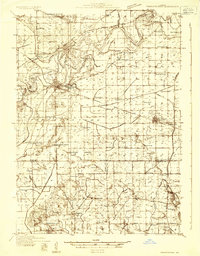
1930 · Woodsung
USGS Topo · 1:48,000
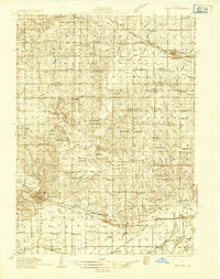
1932 · Prophetstown
USGS Topo · 1:48,000
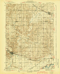
1934 · Morrison
USGS Topo · 1:48,000
1936 · Prophetstown
USGS Topo · 1:62,500
1940 · Morrison
USGS Topo · 1:62,500
1946 · Sterling
USGS Topo · 1:62,500
1948 · Sterling
USGS Topo · 1:62,500
1949 · Walnut
USGS Topo · 1:62,500

1958 · Aurora
USGS Topo · 1:250,000

1961 · Aurora
USGS Topo · 1:250,000