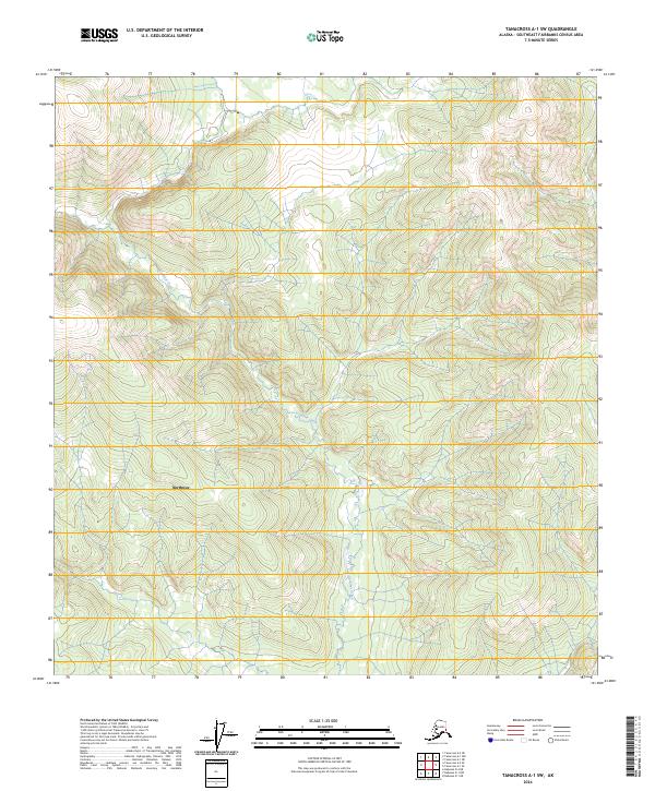
2024 Map of Tanacross A-1 SW
USGS Topo · Published 2024About this map
Northway serves as the primary settlement within this portion of the Southeast Fairbanks Census Area, situated amidst the complex drainage patterns of the eastern Alaska interior. The landscape is dominated by the winding path of Gardiner Creek, which meanders through a series of varied elevations and wetlands that characterize the regional topography. This 2024 survey, produced with data from the Alaska Dept. of Transportation and the National Hydrography Dataset, illustrates the intricate relationship between the local water systems and the established township boundaries of the Public Land Survey System.
Find a feature on this map
8 named features on this map. Tap any name to fly to it.
Don’t see what you’re looking for? This feature index may not catch every label — zoom into the map to look around manually.
Map Details
Editions of this 2024 Tanacross A-1 SW Map
This is the sole edition of this map. No revisions or reprints were ever made.
Other maps of this area

1949 · Tanacross
USGS Topo · 1:250,000

1950 · Tanacross
USGS Topo · 1:250,000

1950 · Nabesna
USGS Topo · 1:250,000

1951 · Nabesna
USGS Topo · 1:250,000

1952 · Nabesna D-1
USGS Topo · 1:63,360

1952 · Tanacross A-1
USGS Topo · 1:63,360

1954 · Tanacross A-2
USGS Topo · 1:63,360

1954 · Nabesna D-2
USGS Topo · 1:63,360

1955 · Tanacross A-2
USGS Topo · 1:63,360

1955 · Nabesna D-2
USGS Topo · 1:63,360