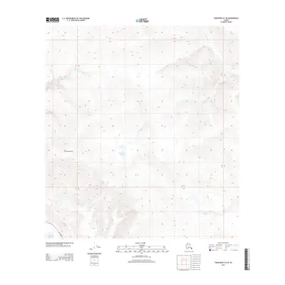
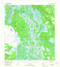
2013 Map of Tanacross A-2 SE
USGS Topo · Published 2013About this map
Damundtali Lake sits as a central water feature in this interior landscape, surrounded by the high relief of the Tanacross region. This 2013 survey by the U.S. Geological Survey documents a wilderness dominated by terrain and hydrologic systems rather than dense human settlement. To the west, the topographic prominence of Cheneathda Hill overlooks the winding course of Beaver Cr, while the southeastern corner is defined by the proximity of Steve Lake and the Alaska Hwy. The map provides a detailed view of the drainage patterns for Gardiner Cr and Silver Cr, illustrating how these waterways navigate the complex contour lines of the Alaskan interior. This sheet is particularly useful for understanding the modern footprint of the historic highway corridor as it interacts with the local geography of the Unorganized Borough.
Find a feature on this map
12 named features on this map. Tap any name to fly to it.
Don’t see what you’re looking for? This feature index may not catch every label — zoom into the map to look around manually.
Map Details
Editions of this 2013 Tanacross A-2 SE Map
This is the sole edition of this map. No revisions or reprints were ever made.
Other maps of this area

1949 · Tanacross
USGS Topo · 1:250,000

1950 · Tanacross
USGS Topo · 1:250,000
1950 · Nabesna
USGS Topo · 1:250,000
1951 · Nabesna
USGS Topo · 1:250,000
1952 · Nabesna D-1
USGS Topo · 1:63,360
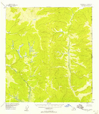
1952 · Tanacross A-1
USGS Topo · 1:63,360
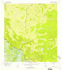
1954 · Tanacross A-2
USGS Topo · 1:63,360
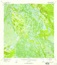
1954 · Nabesna D-2
USGS Topo · 1:63,360
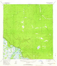
1955 · Tanacross A-2
USGS Topo · 1:63,360
1955 · Nabesna D-2
USGS Topo · 1:63,360