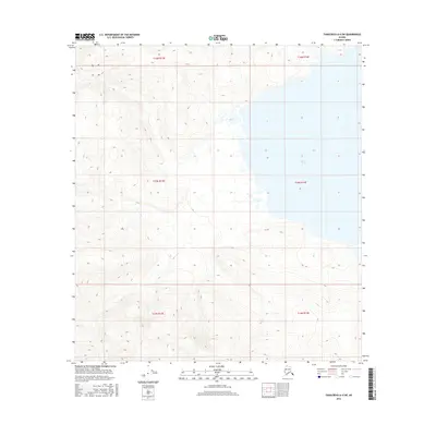
2016 Map of Tanacross A-4 SW
USGS Topo · Published 2016About this map
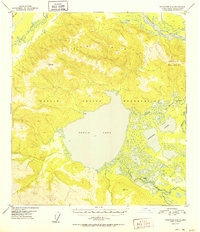
Tetlin Lake dominates the eastern landscape of this interior Alaskan wilderness, as documented in this 2016 survey by the U.S. Geological Survey. The terrain transition is stark, shifting from the expansive waters and wetlands of the lake basin to the complex elevation changes of the surrounding uplands. This quadrant is defined largely by the Public Land Survey System grid, which divides the remote territory into townships such as t15n r13e and t16n r14e. The mapping reflects a landscape of significant natural relief and water systems, providing a detailed record of the geography within the Unorganized Borough during the early 21st century.
Find a feature on this map
7 named features on this map. Tap any name to fly to it.
Don’t see what you’re looking for? This feature index may not catch every label — zoom into the map to look around manually.
Map Details
Editions of this 2016 Tanacross A-4 SW Map
This is the sole edition of this map. No revisions or reprints were ever made.
Other maps of this area
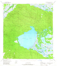
1948 · Tanacross A-4
USGS Topo · 1:63,360
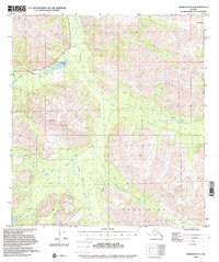
1948 · Nabesna D-5
USGS Topo · 1:63,360
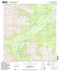
1948 · Tanacross A-5
USGS Topo · 1:63,360

1949 · Tanacross
USGS Topo · 1:250,000
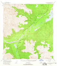
1949 · Tanacross A-5
USGS Topo · 1:63,360

1950 · Tanacross
USGS Topo · 1:250,000
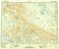
1950 · Nabesna
USGS Topo · 1:250,000
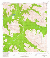
1950 · Nabesna D-5
USGS Topo · 1:63,360
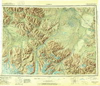
1951 · Nabesna
USGS Topo · 1:250,000
1952 · Tanacross A-4
USGS Topo · 1:63,360