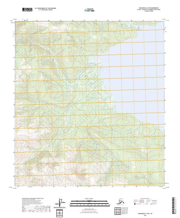
2024 Map of Tanacross A-4 SW
USGS Topo · Published 2024About this map
Vast unpopulated stretches of the Southeast Fairbanks Census Area define this interior Alaskan landscape. This 2024 survey documents the wilderness within the Public Land Survey System grids of T15n R13e, T16n R13e, and T14n R13e. The map illustrates a complex network of wetlands and seasonal watercourses that shift through the low-lying areas, while the northern and western sections rise into more pronounced topographic elevations. Absent of established roads or named settlements, the area is characterized by its natural hydrology and the intersection of various township and range boundaries including T16n R14e and T15n R14e. This record serves as a precise baseline for the current state of the Alaskan interior, showing the untouched terrain before any potential future development or shifts in the regional watershed.
Find a feature on this map
6 named features on this map. Tap any name to fly to it.
Don’t see what you’re looking for? This feature index may not catch every label — zoom into the map to look around manually.
Map Details
Editions of this 2024 Tanacross A-4 SW Map
This is the sole edition of this map. No revisions or reprints were ever made.
Other maps of this area

1948 · Tanacross A-4
USGS Topo · 1:63,360

1948 · Nabesna D-5
USGS Topo · 1:63,360

1948 · Tanacross A-5
USGS Topo · 1:63,360

1949 · Tanacross
USGS Topo · 1:250,000

1949 · Tanacross A-5
USGS Topo · 1:63,360

1950 · Tanacross
USGS Topo · 1:250,000

1950 · Nabesna
USGS Topo · 1:250,000

1950 · Nabesna D-5
USGS Topo · 1:63,360

1951 · Nabesna
USGS Topo · 1:250,000

1952 · Tanacross A-4
USGS Topo · 1:63,360