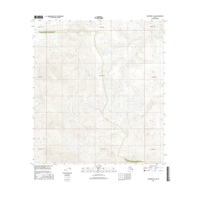
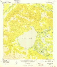
2016 Map of Tanacross A-5 SE
USGS Topo · Published 2016About this map
Log Cabin Cr and Trail Cr define the hydrological landscape of this Interior Alaska region, where high-elevation terrain meets the headwaters of vital creek systems. This 2016 survey documents the administrative intersection of the Southeast Fairbanks Census Area and the Valdez-Cordova Census Area, a boundary line that cuts across the high ridgelines and drainages of the Tanacross region. The map reveals a landscape governed by the Public Land Survey System, with township and range lines like t15n r12e providing a grid over the complex contours of the Alaskan wilderness. For the researcher or land historian, this data offers a clear view of the topography and naming conventions used at the start of the 21st century, showing where seasonal runoff feeds into larger northern river systems.
Find a feature on this map
12 named features on this map. Tap any name to fly to it.
Don’t see what you’re looking for? This feature index may not catch every label — zoom into the map to look around manually.
Map Details
Editions of this 2016 Tanacross A-5 SE Map
This is the sole edition of this map. No revisions or reprints were ever made.
Other maps of this area
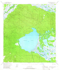
1948 · Tanacross A-4
USGS Topo · 1:63,360
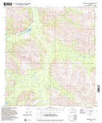
1948 · Nabesna D-5
USGS Topo · 1:63,360
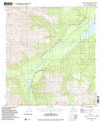
1948 · Tanacross A-5
USGS Topo · 1:63,360

1949 · Tanacross
USGS Topo · 1:250,000
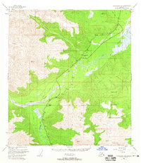
1949 · Tanacross A-5
USGS Topo · 1:63,360

1950 · Tanacross
USGS Topo · 1:250,000
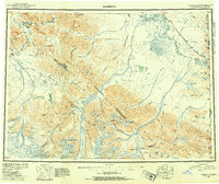
1950 · Nabesna
USGS Topo · 1:250,000
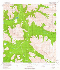
1950 · Nabesna D-5
USGS Topo · 1:63,360
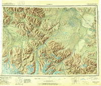
1951 · Nabesna
USGS Topo · 1:250,000
1952 · Tanacross A-4
USGS Topo · 1:63,360