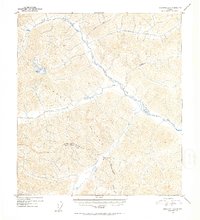
1952 Map of Tanacross A-6
USGS Topo · Published 1953About this map
The Alaska Range dominates this mid-century topographic survey, where the drainages of the Tok River and its tributaries carve deep into the interior terrain. A single isolated Cabin stands as a rare sign of human activity in this wilderness, situated along the upper reaches of the river near where Natohona Creek and Shindata Creek join the main flow. The map captures a moment in the early 1950s when the region's geography was being refined using multiplex aerial photography methods.
Find a feature on this map
11 named features on this map. Tap any name to fly to it.
Don’t see what you’re looking for? This feature index may not catch every label — zoom into the map to look around manually.
Map Details
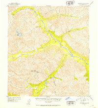
Editions of this 1952 Tanacross A-6 Map
2 editions found
Other maps of this area

1948 · Tanacross B-5
USGS Topo · 1:63,360

1948 · Tanacross A-6
USGS Topo · 1:63,360

1948 · Nabesna D-5
USGS Topo · 1:63,360

1948 · Tanacross A-5
USGS Topo · 1:63,360

1949 · Tanacross
USGS Topo · 1:250,000

1949 · Nabesna D-6
USGS Topo · 1:63,360

1949 · Tanacross A-5
USGS Topo · 1:63,360

1949 · Tanacross B-6
USGS Topo · 1:63,360

1949 · Mt. Hayes A-1
USGS Topo · 1:63,360

1950 · Tanacross
USGS Topo · 1:250,000