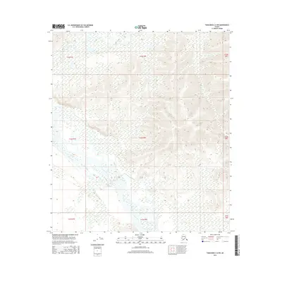
2016 Map of Tanacross C-6 NW
USGS Topo · Published 2016About this map
Tanana River dominates the southern landscape of this Alaskan interior terrain, weaving through a complex network of wetlands and braided channels. The hydrology of the region is defined by several significant tributaries including Billy Cr in the north and the converging waters of Chief Creek and Bear Cr to the south. This 2016 survey provides a clear look at the elevation changes and land divisions within the Public Land Survey System, specifically detailing townships such as t22n r8e and t23n r8e. The interplay between the active river system and the surrounding topographical contours illustrates the natural drainage patterns of the Tanacross region, essential for understanding the local environment and seasonal water flow before more modern developments.
Find a feature on this map
14 named features on this map. Tap any name to fly to it.
Don’t see what you’re looking for? This feature index may not catch every label — zoom into the map to look around manually.
Map Details
Editions of this 2016 Tanacross C-6 NW Map
This is the sole edition of this map. No revisions or reprints were ever made.
Other maps of this area

1949 · Tanacross
USGS Topo · 1:250,000

1950 · Tanacross
USGS Topo · 1:250,000

1950 · Mount Hayes
USGS Topo · 1:250,000

1951 · Mount Hayes
USGS Topo · 1:250,000

1954 · Tanacross C-6
USGS Topo · 1:63,360

1954 · Mount Hayes D-1
USGS Topo · 1:63,360

1954 · Tanacross D-6
USGS Topo · 1:63,360

1954 · Mount Hayes C-1
USGS Topo · 1:63,360

1955 · Mount Hayes C-1
USGS Topo · 1:63,360
1955 · Tanacross C-6
USGS Topo · 1:63,360