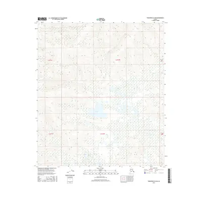
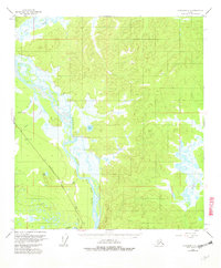
2016 Map of Tanacross D-6 SW
USGS Topo · Published 2016About this map
T Lake sits as the central hydrologic feature of this wilderness expanse in the Unorganized Borough, Alaska. This 2016 survey documents the shifting hydrography of the interior, where the meandering course of Billy Cr weaves through the lowlands and wetlands. The map is primarily defined by its topographic detail, illustrating the transition from the elevated terrain in the northern sections to the water-saturated flats and basins surrounding the lake. Land ownership and management are delineated by the Public Land Survey System grids, including t24n r8e and t23n r8e, which provide a framework for navigating this remote landscape. For researchers and surveyors, the map provides a precise record of the natural drainage patterns and elevation contours that characterize this subarctic environment.
Find a feature on this map
8 named features on this map. Tap any name to fly to it.
Don’t see what you’re looking for? This feature index may not catch every label — zoom into the map to look around manually.
Map Details
Editions of this 2016 Tanacross D-6 SW Map
This is the sole edition of this map. No revisions or reprints were ever made.
Other maps of this area

1949 · Tanacross
USGS Topo · 1:250,000

1950 · Tanacross
USGS Topo · 1:250,000
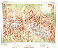
1950 · Mount Hayes
USGS Topo · 1:250,000
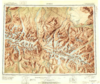
1951 · Mount Hayes
USGS Topo · 1:250,000
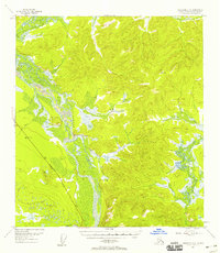
1954 · Tanacross C-6
USGS Topo · 1:63,360
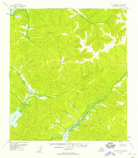
1954 · Mount Hayes D-1
USGS Topo · 1:63,360
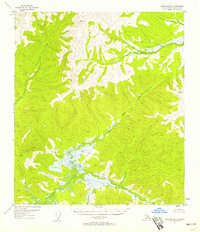
1954 · Tanacross D-6
USGS Topo · 1:63,360
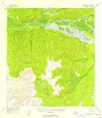
1954 · Mount Hayes C-1
USGS Topo · 1:63,360
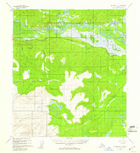
1955 · Mount Hayes C-1
USGS Topo · 1:63,360
1955 · Tanacross C-6
USGS Topo · 1:63,360