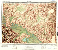
1949 Map of Tanacross
USGS Topo · Published 1958About this map
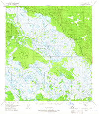
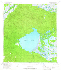
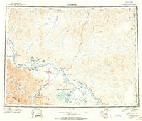
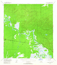
The Tanana River serves as the central artery for this late 1940s reconnaissance of the Alaska interior, documenting a landscape where aviation and highway infrastructure began to redefine traditional travel. The map highlights the sprawling Tetlin Indian Reservation and several indigenous settlements like Mansfield Village and Tanacross. Transportation transition is evident through the path of the Alaska Highway and the Eagle Trail, alongside several aviation landmarks such as the Tanacross Airfield and the Mineral Emergency Landing Field. These features illustrate the strategic importance of the region during the mid-20th century. Bordering the Alaska Canada line, the survey captures significant points of entry including the U S Customhouse. The terrain is characterized by the Tetlin Hills and the winding courses of the Ladue River and Robertson River, reflecting the complex river-and-road network of this subarctic corridor.
Find a feature on this map
69 named features on this map. Tap any name to fly to it.
Don’t see what you’re looking for? This feature index may not catch every label — zoom into the map to look around manually.
Map Details
Editions of this 1949 Tanacross Map
2 editions found
Other maps of this area
1899 · Fortymile
USGS Topo · 1:250,000
1948 · Tanacross B-5
USGS Topo · 1:63,360
1948 · Tanacross A-6
USGS Topo · 1:63,360
1948 · Tanacross A-3
USGS Topo · 1:63,360
1948 · Tanacross A-4
USGS Topo · 1:63,360

1948 · Nabesna D-5
USGS Topo · 1:63,360

1948 · Tanacross A-5
USGS Topo · 1:63,360

1948 · Tanacross B-3
USGS Topo · 1:63,360
1949 · Tanacross
USGS Topo · 1:250,000
1949 · Tanacross B-4
USGS Topo · 1:63,360