
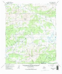
1953 Map of Tanana A-2
USGS Topo · Published 1965About this map
Manley Hot Springs serves as the focal point for this interior Alaska landscape, situated at the base of the prominent Manley Hot Springs Dome. The area's mid-century character is defined by a remote infrastructure of resource extraction and transit, evidenced by the numerous named gulches and the extensive Ditch systems appearing near Tofty. These ditches, along with labels like Sullivan Creek and Cache Creek, suggest a history of hydraulic mining or water management in the region’s drainage basins.
Find a feature on this map
49 named features on this map. Tap any name to fly to it.
Don’t see what you’re looking for? This feature index may not catch every label — zoom into the map to look around manually.
Map Details
Editions of this 1953 Tanana A-2 Map
3 editions found
Other maps of this area

1948 · Kantishna River
USGS Topo · 1:250,000

1951 · Kantishna River
USGS Topo · 1:250,000

1951 · Tanana
USGS Topo · 1:250,000

1952 · Tanana A-1
USGS Topo · 1:63,360

1952 · Tanana A-3
USGS Topo · 1:63,360

1952 · Tanana A-2
USGS Topo · 1:63,360

1952 · Kantishna River
USGS Topo · 1:250,000

1952 · Kantishna River D-2
USGS Topo · 1:63,360

1952 · Kantishna River D-3
USGS Topo · 1:63,360
1953 · Kantishna River D-1
USGS Topo · 1:63,360