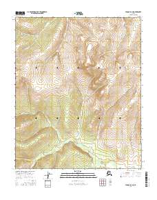
2016 Map of Tanana B-6 NE
USGS Topo · Published 2016About this map
Tozimoran Cr and its northern tributaries define this interior Alaskan landscape within the Yukon-Koyukuk region. This 2016 survey highlights a complex drainage system where Wrongtrail Cr and Wells Cr descend from high ridges to feed the larger valley floor. The map detail reflects the Public Land Survey System grid, specifically portions of t7n r25w and t8n r25w, showing the precise township and range divisions across this unpopulated wilderness. These watercourses, including Spruce Cr and Slate Cr, illustrate the natural erosion patterns and landform evolution of the Tanana region, providing a high-resolution view of the local topography and watershed boundaries in the early twenty-first century.
Find a feature on this map
11 named features on this map. Tap any name to fly to it.
Don’t see what you’re looking for? This feature index may not catch every label — zoom into the map to look around manually.
Map Details
Editions of this 2016 Tanana B-6 NE Map
This is the sole edition of this map. No revisions or reprints were ever made.
Other maps of this area

1951 · Tanana
USGS Topo · 1:250,000

1956 · Tanana B-5
USGS Topo · 1:63,360

1956 · Tanana B-6
USGS Topo · 1:63,360

1956 · Tanana C-6
USGS Topo · 1:63,360

1956 · Tanana C-5
USGS Topo · 1:63,360

1956 · Tanana
USGS Topo · 1:250,000

1960 · Tanana
USGS Topo · 1:250,000
2016 · Tanana B-6 SW
USGS Topo · 1:25,000
2016 · Tanana B-5 SW
USGS Topo · 1:25,000
2016 · Tanana B-6 NW
USGS Topo · 1:25,000