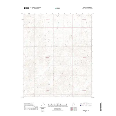
2017 Map of Tanana C-2 NE
USGS Topo · Published 2017About this map
The Tozitna River meanders across this wilderness terrain in the Yukon-Koyukuk region, carving a deep valley through the interior of Alaska. This 2017 survey documents the remote drainage basin where the river system is fed by smaller tributaries like Squaw Cr in the southeastern portion of the quadrangle. The landscape is defined by its lack of human infrastructure, showing no roads or established settlements, which highlights the area's role as a pristine natural corridor. Topographic contours illustrate the elevation changes between the river valley and the surrounding high ground, providing a clear picture of the hydrological patterns within the townships of t10n r15w and t11n r14w. This map is particularly useful for understanding the geomorphology of the Tanana region as it stood in the early 21st century.
Find a feature on this map
8 named features on this map. Tap any name to fly to it.
Don’t see what you’re looking for? This feature index may not catch every label — zoom into the map to look around manually.
Map Details
Editions of this 2017 Tanana C-2 NE Map
This is the sole edition of this map. No revisions or reprints were ever made.
Other maps of this area
1951 · Tanana
USGS Topo · 1:250,000
1956 · Tanana C-1
USGS Topo · 1:63,360
1956 · Tanana D-2
USGS Topo · 1:63,360
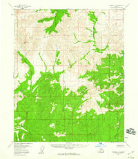
1956 · Tanana C-2
USGS Topo · 1:63,360
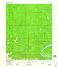
1956 · Tanana D-1
USGS Topo · 1:63,360
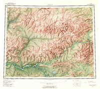
1956 · Tanana
USGS Topo · 1:250,000
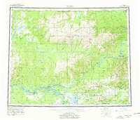
1960 · Tanana
USGS Topo · 1:250,000
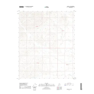
2017 · Tanana C-1 SW
USGS Topo · 1:25,000
2017 · Tanana D-2 SW
USGS Topo · 1:25,000
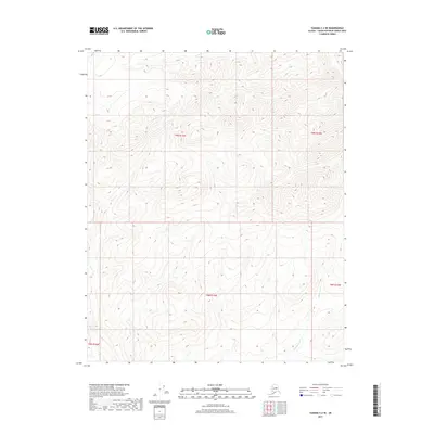
2017 · Tanana C-2 SE
USGS Topo · 1:25,000