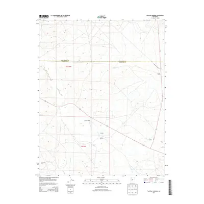
2013 Map of Tancosa Windmill
USGS Topo · Published 2013About this map
Tancosa sits at the heart of this high-desert landscape where the borders of Rio Arriba and Sandoval counties meet. The area is defined by its water management and arid-land topography, marked by a series of essential windmills such as Gonzales Windmill, Tancosa Windmill, and Gutierrez Windmill that support ranching and local habitation. Dramatic landforms shape the terrain, including the steep slopes of Chacon Canyon and the prominent Sisnathyel Mesa.
Find a feature on this map
15 named features on this map. Tap any name to fly to it.
Don’t see what you’re looking for? This feature index may not catch every label — zoom into the map to look around manually.
Map Details
Editions of this 2013 Tancosa Windmill Map
This is the sole edition of this map. No revisions or reprints were ever made.
Other maps of this area
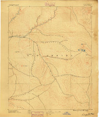
1889 · Largo
USGS Topo · 1:250,000
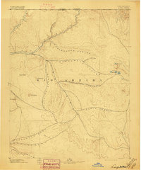
1895 · Largo
USGS Topo · 1:250,000
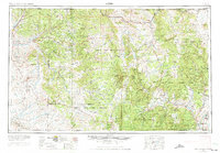
1954 · Aztec
USGS Topo · 1:250,000
1958 · Aztec
USGS Topo · 1:250,000
1962 · Aztec
USGS Topo · 1:250,000
1963 · Tayfoya Canyon
USGS Topo · 1:24,000
1963 · Otero Store
USGS Topo · 1:24,000
1963 · Billy Rice Canyon
USGS Topo · 1:24,000
1963 · Taylor Ranch
USGS Topo · 1:24,000
1963 · Five Lakes Canyon NW
USGS Topo · 1:24,000