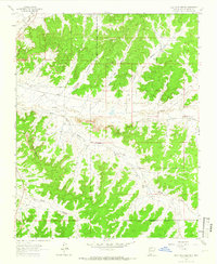
1963 Map of Billy Rice Canyon
USGS Topo · Published 1966About this map
Jicarilla Apache Indian Reservation Boundary defines the southern portion of this landscape, where the high desert terrain is carved by an intricate network of drainages. The map traces the winding course of Cañada Larga as it receives water from numerous tributary systems, including Billy Rice Canyon, Cottonwood Canyon, and Gavilan Canyon. Scattered ranching outposts like Leeson Ranch, Post Ranch, and White Ranch represent the human imprint on this remote Rio Arriba County territory during the early 1960s.
Find a feature on this map
19 named features on this map. Tap any name to fly to it.
Don’t see what you’re looking for? This feature index may not catch every label — zoom into the map to look around manually.
Map Details
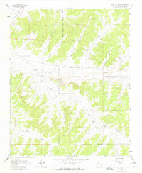
Editions of this 1963 Billy Rice Canyon Map
2 editions found
Other maps of this area

1889 · Largo
USGS Topo · 1:250,000

1895 · Largo
USGS Topo · 1:250,000

1954 · Aztec
USGS Topo · 1:250,000

1958 · Aztec
USGS Topo · 1:250,000

1962 · Aztec
USGS Topo · 1:250,000

1963 · Lapis Point
USGS Topo · 1:24,000

1963 · Schmitz Ranch
USGS Topo · 1:24,000

1963 · Otero Store
USGS Topo · 1:24,000

1963 · Lindrith
USGS Topo · 1:24,000
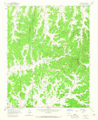
1963 · Ojito
USGS Topo · 1:24,000