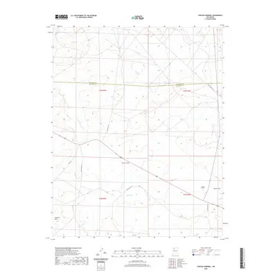
2020 Map of Tancosa Windmill
USGS Topo · Published 2020About this map
Chacon Canyon cuts through the high desert landscape of Sandoval County, serving as a primary geographic feature in this sparsely settled region. The terrain is defined by broad mesas and alluvial washes, including Sisnathyel Mesa in the southwest and the expansive Apache Flats to the east. Water management in this arid environment is highlighted by the Tancosa Windmill, a critical landmark for livestock or travelers near the junction of several drainage systems. Seasonal watercourses like Peña Wash and Tancosa Wash thread through the township, occasionally feeding into small depressions such as Mule Lake. The map details a network of remote Bureau of Indian Affairs roads, such as Indian Svc Rte 6 and Indian Svc Rte 24, which cross the Sandoval and Rio Arriba county line to connect isolated outposts.
Find a feature on this map
17 named features on this map. Tap any name to fly to it.
Don’t see what you’re looking for? This feature index may not catch every label — zoom into the map to look around manually.
Map Details
Editions of this 2020 Tancosa Windmill Map
This is the sole edition of this map. No revisions or reprints were ever made.
Other maps of this area
1889 · Largo
USGS Topo · 1:250,000
1895 · Largo
USGS Topo · 1:250,000
1954 · Aztec
USGS Topo · 1:250,000
1958 · Aztec
USGS Topo · 1:250,000
1962 · Aztec
USGS Topo · 1:250,000
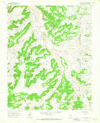
1963 · Tayfoya Canyon
USGS Topo · 1:24,000
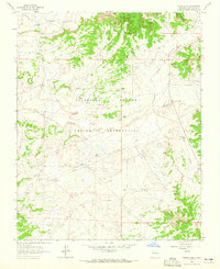
1963 · Otero Store
USGS Topo · 1:24,000
1963 · Billy Rice Canyon
USGS Topo · 1:24,000
1963 · Taylor Ranch
USGS Topo · 1:24,000
1963 · Five Lakes Canyon NW
USGS Topo · 1:24,000