
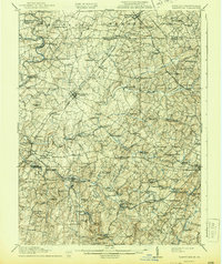
1911 Map of Taneytown
USGS Topo · Published 1911About this map
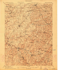
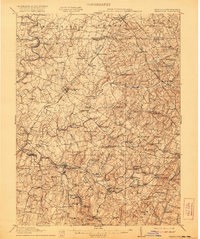
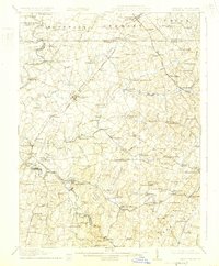
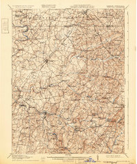
Taneytown and its surrounding agricultural districts are meticulously documented in this 1911 survey, showing a landscape defined by milling and rail transit during the early twentieth century. The Western Maryland Railroad and the Northern Central Railroad intersect the region, connecting towns like New Windsor and Middleburg to broader markets. The local economy is visibly centered on small-scale industrial sites along the waterways, with numerous operations such as Otterdale Mill, Hahns Mill, and Wakefield Mill following the course of Big Pipe Creek.
Find a feature on this map
119 named features on this map. Tap any name to fly to it.
Don’t see what you’re looking for? This feature index may not catch every label — zoom into the map to look around manually.
Map Details
Editions of this 1911 Taneytown Map
6 editions found
Other maps of this area

1892 · Ellicott
USGS Topo · 1:62,500

1893 · Frederick
USGS Topo · 1:125,000

1894 · Ellicott
USGS Topo · 1:62,500

1894 · Frederick
USGS Topo · 1:125,000

1905 · Westminster
USGS Topo · 1:62,500

1906 · Ellicott
USGS Topo · 1:62,500

1908 · Patapsco
USGS Topo · 1:125,000

1908 · Gettysburg
USGS Topo · 1:62,500

1908 · Ijamsville
USGS Topo · 1:62,500

1909 · Mount Airy
USGS Topo · 1:62,500