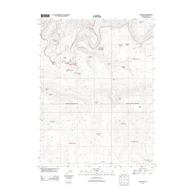
2013 Map of Tanks Peak
USGS Topo · Published 2013About this map
Dinosaur National Monument encompasses the central portion of this landscape, where the deeply carved channel of the Yampa River creates dramatic relief through Harding Hole and Cleopatras Couch. The high desert terrain is marked by essential water sources for ranching and wildlife, including Serviceberry Spring, Marthas Spring, and Deer Reservoir. Early 21st-century cattle and sheep ranching footprints are visible through namesake structures like Baker Cabin, Shephard Cabin, and Hamlin Cabin. The topography transitions from the low banks of Wolf Creek in the south toward the high, prominent summit of Tanks Peak. This map records a remote corner of Moffat County where the natural drainage of Johnson Draw and Pothole Canyon dictated the historical placement of seasonal outposts and trails.
Find a feature on this map
41 named features on this map. Tap any name to fly to it.
Don’t see what you’re looking for? This feature index may not catch every label — zoom into the map to look around manually.
Map Details
Editions of this 2013 Tanks Peak Map
This is the sole edition of this map. No revisions or reprints were ever made.
Other maps of this area
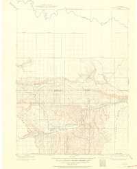
1907 · Rangely
USGS Topo · 1:125,000
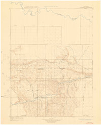
1910 · Rangely
USGS Topo · 1:125,000
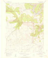
1954 · Hells Canyon
USGS Topo · 1:24,000
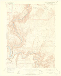
1954 · Canyon of Lodore South
USGS Topo · 1:24,000

1954 · Vernal
USGS Topo · 1:250,000

1958 · Vernal
USGS Topo · 1:250,000

1960 · Vernal
USGS Topo · 1:250,000
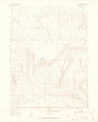
1962 · Lazy Y Point
USGS Topo · 1:24,000
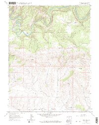
1962 · Tanks Peak
USGS Topo · 1:24,000
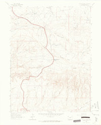
1962 · Plug Hat Rock
USGS Topo · 1:24,000