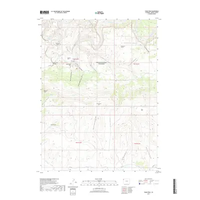
2019 Map of Tanks Peak
USGS Topo · Published 2019About this map
The northern reaches of Dinosaur National Monument dominate this high-desert terrain, where the Yampa River carves a deep path through the canyonlands of Moffat County. This landscape is defined by its dramatic verticality, featuring distinct formations like Cleopatras Couch and Schoonover Buttes. Historically significant corridors such as the Bull Canyon Trail and Co RD 14n provide access to remote areas like Bull Park and the Harding Hole Overlook.
Find a feature on this map
41 named features on this map. Tap any name to fly to it.
Don’t see what you’re looking for? This feature index may not catch every label — zoom into the map to look around manually.
Map Details
Editions of this 2019 Tanks Peak Map
This is the sole edition of this map. No revisions or reprints were ever made.
Other maps of this area
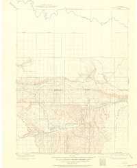
1907 · Rangely
USGS Topo · 1:125,000
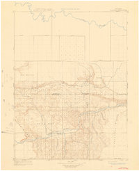
1910 · Rangely
USGS Topo · 1:125,000
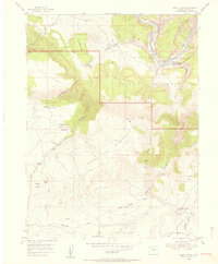
1954 · Hells Canyon
USGS Topo · 1:24,000
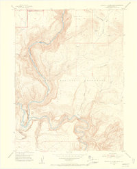
1954 · Canyon of Lodore South
USGS Topo · 1:24,000

1954 · Vernal
USGS Topo · 1:250,000

1958 · Vernal
USGS Topo · 1:250,000

1960 · Vernal
USGS Topo · 1:250,000
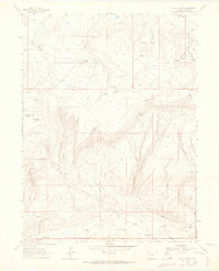
1962 · Lazy Y Point
USGS Topo · 1:24,000
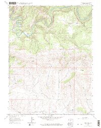
1962 · Tanks Peak
USGS Topo · 1:24,000
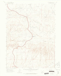
1962 · Plug Hat Rock
USGS Topo · 1:24,000